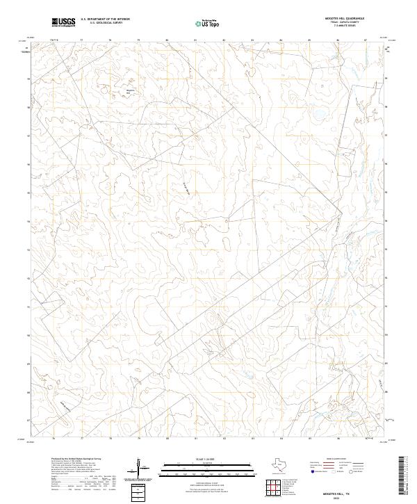
2022 Map of Mogotes Hill
USGS Topo · Published 2022About this map
Mogotes Hill rises as the central landmark in this portion of South Texas ranching country within Zapata County. The landscape is defined by an intricate network of intermittent watercourses, including Arroyo Blanco and Salómeneno Cr, which drain the low brushland and arid terrain. These drainage patterns, such as the Cañada Honda, dictate the layout of the region's ranching infrastructure. Roads like Jennings Ranch Rd and Jennings Rd indicate the importance of long-established family ranching holdings in this sparsely populated area. The map illustrates how historic land boundaries and water access have shaped the modern geography of the county near the Escobas Cr and Taquache Cr systems.
Find a feature on this map
10 named features on this map. Tap any name to fly to it.
Don’t see what you’re looking for? This feature index may not catch every label — zoom into the map to look around manually.
Map Details
Editions of this 2022 Mogotes Hill Map
This is the sole edition of this map. No revisions or reprints were ever made.
Other maps of this area

1940 · Mogotes Hill
USGS Topo · 1:62,500

1942 · San Ygnacio
USGS Topo · 1:62,500

1949 · Mc Allen
USGS Topo · 1:250,000

1954 · McAllen
USGS Topo · 1:250,000

1956 · Mogotes Hill
USGS Topo · 1:62,500

1956 · Zapata
USGS Topo · 1:62,500

1956 · Arroyo Clareno
USGS Topo · 1:62,500

1956 · Laredo
USGS Topo · 1:250,000

1957 · Mc Allen
USGS Topo · 1:250,000

1962 · McAllen
USGS Topo · 1:250,000