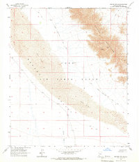
1965 Map of Mohawk Mts SW
USGS Topo · Published 1966About this map
Luke Air Force Range dominates this mid-1960s desert landscape, where the shifting topography of the Mohawk Sand Dunes meets the sharp rises of the Mohawk Mountains. The mapping captures a network of primitive infrastructure, including the Mohawk Papago Well Road and various unnamed Jeep Trails that provided the only access through this arid Yuma County corridor.
Find a feature on this map
12 named features on this map. Tap any name to fly to it.
Don’t see what you’re looking for? This feature index may not catch every label — zoom into the map to look around manually.
Map Details
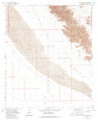
Editions of this 1965 Mohawk Mts SW Map
2 editions found
Other maps of this area

1926 · Mohawk
USGS Topo · 1:62,500

1927 · Kim
USGS Topo · 1:62,500

1928 · Mohawk
USGS Topo · 1:62,500

1931 · Kim
USGS Topo · 1:62,500

1953 · Ajo
USGS Topo · 1:250,000

1957 · Ajo
USGS Topo · 1:250,000

1958 · Ajo
USGS Topo · 1:250,000

1962 · Ajo
USGS Topo · 1:250,000

1963 · Ajo
USGS Topo · 1:250,000

1965 · Cabeza Prieta Peak
USGS Topo · 1:62,500