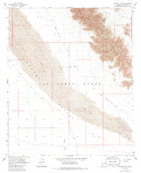
1965 Map of Mohawk Mts SW
USGS Topo · Published 1986About this map
Mohawk Mountains and the arid expanse of the Mohawk Valley dominate this landscape, which is largely defined by the boundaries of the Luke Air Force Range. The map reveals a remote desert environment where water and transport are the primary human concerns, represented by the ephemeral Mohawk Wash and the Mohawk Papago Well Road (Jeep) cutting across the basin. In the higher elevations, small-scale extraction is evidenced by mines and the unusual topographical feature of Glynns Falls. Large areas of shifting Sand Dunes emphasize the mobile nature of the terrain within this restricted military zone, showing the land as it was surveyed in the mid-1960s before modern infrastructure reached deep into this corner of the Yuma desert.
Find a feature on this map
14 named features on this map. Tap any name to fly to it.
Don’t see what you’re looking for? This feature index may not catch every label — zoom into the map to look around manually.
Map Details
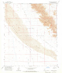
Editions of this 1965 Mohawk Mts SW Map
2 editions found
Other maps of this area

1926 · Mohawk
USGS Topo · 1:62,500

1927 · Kim
USGS Topo · 1:62,500

1928 · Mohawk
USGS Topo · 1:62,500

1931 · Kim
USGS Topo · 1:62,500

1953 · Ajo
USGS Topo · 1:250,000

1957 · Ajo
USGS Topo · 1:250,000

1958 · Ajo
USGS Topo · 1:250,000

1962 · Ajo
USGS Topo · 1:250,000

1963 · Ajo
USGS Topo · 1:250,000

1965 · Cabeza Prieta Peak
USGS Topo · 1:62,500