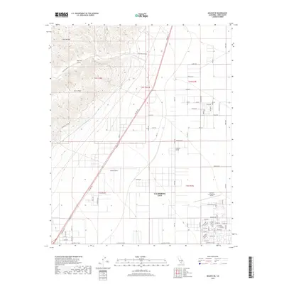
2018 Map of Mojave NE
USGS Topo · Published 2018About this map
California City anchors the southeastern corner of this survey, where residential street grids transition abruptly into the vast expanses of the Mojave Desert and Fremont Valley. To the west, the foothills of the Sierra Nevada rise sharply, marked by the geological features of Pine Tree Canyon and Barren Ridge. This landscape is defined by its critical infrastructure, specifically the path of the Los Angeles Aqueduct and the Second Los Angeles Aqueduct as they traverse the desert floor. The map documents the layout of the northern reaches of this planned community, including the California City Municipal Airport and a network of arterial roads like Midland Trl and California City Blvd that reveal the ambitious scale of the desert development.
Find a feature on this map
72 named features on this map. Tap any name to fly to it.
Don’t see what you’re looking for? This feature index may not catch every label — zoom into the map to look around manually.
Map Details
Editions of this 2018 Mojave NE Map
This is the sole edition of this map. No revisions or reprints were ever made.
Other maps of this area

1915 · Searles Lake
USGS Topo · 1:250,000

1915 · Mojave
USGS Topo · 1:125,000

1943 · Cross Mountain
USGS Topo · 1:62,500

1943 · Saltdale
USGS Topo · 1:62,500

1943 · Castle Butte
USGS Topo · 1:62,500

1943 · Mojave
USGS Topo · 1:62,500

1947 · Castle Butte
USGS Topo · 1:50,000

1947 · Plano
USGS Topo · 1:24,000

1947 · Mojave
USGS Topo · 1:24,000

1947 · Desert Butte
USGS Topo · 1:24,000