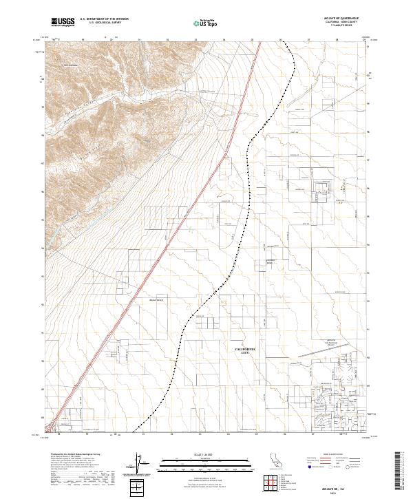
2021 Map of Mojave NE
USGS Topo · Published 2021About this map
Sierra Nevada foothills meet the arid floor of the Mojave Desert in this detailed 2021 study of Kern County. The map captures the planned grid of California City, illustrating the ambitious residential layout of a desert community defined by long, straight thoroughfares like Midland Trl and Lindbergh Blvd. To the west, the landscape rises sharply into Barren Ridge and the Pine Tree Canyon area, where critical infrastructure like the Los Angeles Aqueduct and the Second Los Angeles Aqueduct traverse the terrain. These water systems highlight the complex engineering required to transport resources through the Fremont Valley. Aviation history is also anchored on this sheet at the California City Municipal Airport, serving as a central landmark for this isolated but expansive settlement.
Find a feature on this map
47 named features on this map. Tap any name to fly to it.
Don’t see what you’re looking for? This feature index may not catch every label — zoom into the map to look around manually.
Map Details
Editions of this 2021 Mojave NE Map
This is the sole edition of this map. No revisions or reprints were ever made.
Other maps of this area

1915 · Searles Lake
USGS Topo · 1:250,000

1915 · Mojave
USGS Topo · 1:125,000

1943 · Cross Mountain
USGS Topo · 1:62,500

1943 · Saltdale
USGS Topo · 1:62,500

1943 · Castle Butte
USGS Topo · 1:62,500

1943 · Mojave
USGS Topo · 1:62,500

1947 · Castle Butte
USGS Topo · 1:50,000

1947 · Plano
USGS Topo · 1:24,000

1947 · Mojave
USGS Topo · 1:24,000

1947 · Desert Butte
USGS Topo · 1:24,000