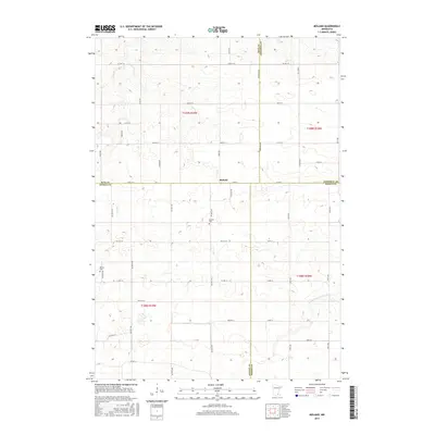
2016 Map of Moland
USGS Topo · Published 2016About this map
Moland stands at the geographical nexus of four southern Minnesota counties, marking the corner where Rice, Goodhue, Steele, and Dodge meet. This agricultural landscape is defined by the headwaters of the Middle Fork Zumbro River and the winding course of Rush Cr, which together shape the local drainage patterns. The map detail highlights the importance of faith and lineage in this rural community, preserving the locations of the Moland Cem and Merton Cem. A dense network of township roads, including Goodhue Ave and Lamb Ave, connects the farmsteads across sections T109N and T108N. The layout of these routes, such as Co Hwy 12 and Co Hwy 19, follows the traditional grid of the Public Land Survey System, illustrating how land division influenced the modern transportation infrastructure in this part of the state.
Find a feature on this map
49 named features on this map. Tap any name to fly to it.
Don’t see what you’re looking for? This feature index may not catch every label — zoom into the map to look around manually.
Map Details
Editions of this 2016 Moland Map
This is the sole edition of this map. No revisions or reprints were ever made.
Other maps of this area

1953 · Saint Paul
USGS Topo · 1:250,000

1959 · Saint Paul
USGS Topo · 1:250,000

1960 · Cannon City
USGS Topo · 1:24,000

1960 · Nerstrand
USGS Topo · 1:24,000

1962 · Medford East
USGS Topo · 1:24,000

1962 · Owatonna
USGS Topo · 1:24,000

1962 · Moland
USGS Topo · 1:24,000

1962 · Owatonna SE
USGS Topo · 1:24,000

1965 · Claremont
USGS Topo · 1:24,000

1965 · West Concord
USGS Topo · 1:24,000