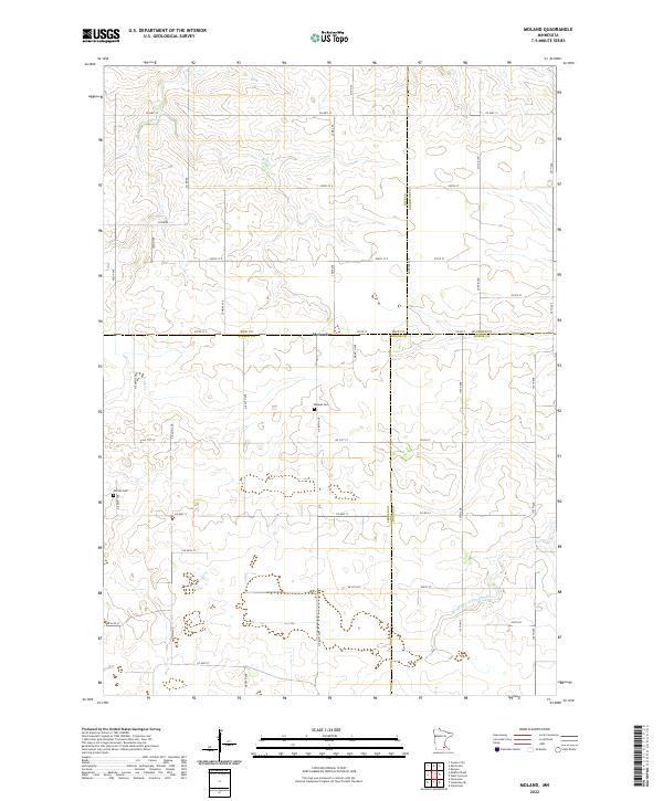
2022 Map of Moland
USGS Topo · Published 2022About this map
The settlement of Moland sits at the convergence of four county lines, marking a unique jurisdictional junction where Rice, Steele, Goodhue, and Dodge counties meet. This agricultural landscape is defined by the headwaters of the Middle Fork Zumbro River and the winding course of Rush Cr in the northwest. The presence of both Moland Cem and Merton Cem offers significant points of interest for genealogists tracing family roots in this rural corridor. A geometric grid of section roads like Lamb Ave and Jenkins Ave underscores the area's history of land division, while Co Hwy 12 provides the primary east-west connection across the varied terrain of southern Minnesota's farming country.
Find a feature on this map
50 named features on this map. Tap any name to fly to it.
Don’t see what you’re looking for? This feature index may not catch every label — zoom into the map to look around manually.
Map Details
Editions of this 2022 Moland Map
This is the sole edition of this map. No revisions or reprints were ever made.
Other maps of this area

1953 · Saint Paul
USGS Topo · 1:250,000

1959 · Saint Paul
USGS Topo · 1:250,000

1960 · Cannon City
USGS Topo · 1:24,000

1960 · Nerstrand
USGS Topo · 1:24,000

1962 · Medford East
USGS Topo · 1:24,000

1962 · Owatonna
USGS Topo · 1:24,000

1962 · Moland
USGS Topo · 1:24,000

1962 · Owatonna SE
USGS Topo · 1:24,000

1965 · Claremont
USGS Topo · 1:24,000

1965 · West Concord
USGS Topo · 1:24,000