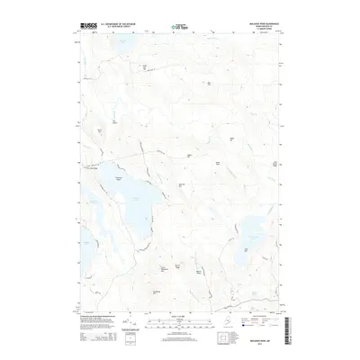
2014 Map of Molasses Pond
USGS Topo · Published 2014About this map
Molasses Pond and the surrounding Hancock County highlands define this landscape of glacial lakes and wooded ridges. In the western reaches, the Bog River meanders toward The Oxbow near Birch Hill, while the eastern terrain is dominated by the waters of Narraguagus Lake and the isolated settlement at Chez Vent. The map reveals a network of local roads and family-named landmarks that speak to the area’s rural development, including Crimmins Cem situated on Neck Ridge and the prominent Crimmins Island. Local topography is marked by significant elevations like Bull Hill, Heifer Hill, and Hardwood Hill, interspersed with seasonal drainages such as Fly Brook and Roaring Brook. The presence of Macomber Mill Stream suggests a history of water-powered industry in this pocket of Maine.
Find a feature on this map
55 named features on this map. Tap any name to fly to it.
Don’t see what you’re looking for? This feature index may not catch every label — zoom into the map to look around manually.
Map Details
Editions of this 2014 Molasses Pond Map
This is the sole edition of this map. No revisions or reprints were ever made.
Other maps of this area

1911 · Ellsworth
USGS Topo · 1:62,500

1929 · Great Pond
USGS Topo · 1:48,000

1929 · Lead Mountain
USGS Topo · 1:48,000

1930 · Tunk Lake
USGS Topo · 1:48,000

1932 · Tunk Lake
USGS Topo · 1:62,500

1932 · Lead Mountain
USGS Topo · 1:62,500

1932 · Great Pond
USGS Topo · 1:62,500

1940 · Ellsworth
USGS Topo · 1:62,500

1942 · Ellsworth
USGS Topo · 1:62,500

1942 · Tunk Lake
USGS Topo · 1:62,500