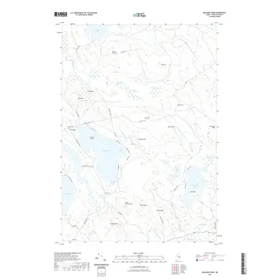
2021 Map of Molasses Pond
USGS Topo · Published 2021About this map
Molasses Pond and the surrounding Hancock County wetlands define this interior Maine landscape. The area is characterized by a dense network of water bodies and named marshes, including the expansive Narraguagus Lake and smaller basins like Abrams Pond and Spectacle Pond. The presence of the Crimmins Cem near Neck Ridge suggests a legacy of local family settlement in an otherwise sparsely populated region of timber and bog.
Find a feature on this map
63 named features on this map. Tap any name to fly to it.
Don’t see what you’re looking for? This feature index may not catch every label — zoom into the map to look around manually.
Map Details
Editions of this 2021 Molasses Pond Map
This is the sole edition of this map. No revisions or reprints were ever made.
Other maps of this area

1911 · Ellsworth
USGS Topo · 1:62,500

1929 · Great Pond
USGS Topo · 1:48,000

1929 · Lead Mountain
USGS Topo · 1:48,000

1930 · Tunk Lake
USGS Topo · 1:48,000

1932 · Tunk Lake
USGS Topo · 1:62,500

1932 · Lead Mountain
USGS Topo · 1:62,500

1932 · Great Pond
USGS Topo · 1:62,500

1940 · Ellsworth
USGS Topo · 1:62,500

1942 · Ellsworth
USGS Topo · 1:62,500

1942 · Tunk Lake
USGS Topo · 1:62,500