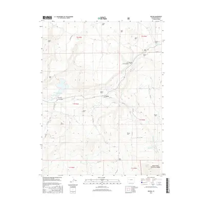
2016 Map of Molina
USGS Topo · Published 2016About this map
Plateau Valley serves as the central geographic focus of this 2016 survey, where the settlement of Molina is situated along the banks of Plateau Creek. This high-altitude landscape is defined by its complex irrigation and water management systems, including the Mormon Mesa Ditch, S Side Canal, and the Vega Canal, which distribute water from reservoirs like Jerry Creek Number 1 Reservoir across the mesas. To the south, the boundary of the Grand Mesa National Forest rises sharply, marking a transition into the elevated basins of the national forest land.
Find a feature on this map
64 named features on this map. Tap any name to fly to it.
Don’t see what you’re looking for? This feature index may not catch every label — zoom into the map to look around manually.
Map Details
Editions of this 2016 Molina Map
This is the sole edition of this map. No revisions or reprints were ever made.
Other maps of this area

1929 · Grand Valley
USGS Topo · 1:62,500

1955 · Collbran
USGS Topo · 1:24,000

1955 · Mesa
USGS Topo · 1:24,000

1955 · Grand Mesa
USGS Topo · 1:24,000

1955 · Molina
USGS Topo · 1:24,000

1955 · Skyway
USGS Topo · 1:24,000

1956 · Grand Junction
USGS Topo · 1:250,000

1957 · Leadville
USGS Topo · 1:250,000

1959 · Grand Junction
USGS Topo · 1:250,000

1959 · Leadville
USGS Topo · 1:250,000