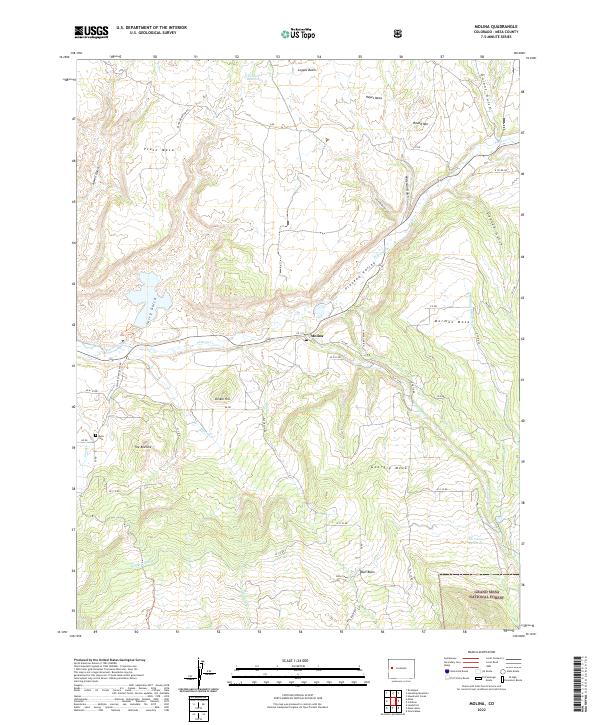
2022 Map of Molina
USGS Topo · Published 2022About this map
The settlement of Molina sits at the heart of the Plateau Valley, where agricultural activity and ranching roots are etched into the landscape via a complex network of water management features. This western Colorado terrain is defined by its dramatic mesas, including Hayes Mesa to the north and Georgia Mesa to the south, which overlook the life-giving waters of Plateau Cr. The local history of land use is visible in the presence of the Mormon Mesa Ditch and S Side Canal, infrastructure essential for high-altitude desert cultivation. Along the southern edge of the survey, the terrain rises into the Grand Mesa National Forest, marking a transition from the worked valley floor to protected wilderness. For those researching local families, the Mesa Cem provides a specific point of genealogical interest near the junction of Coon Cr and the local road network.
Find a feature on this map
60 named features on this map. Tap any name to fly to it.
Don’t see what you’re looking for? This feature index may not catch every label — zoom into the map to look around manually.
Map Details
Editions of this 2022 Molina Map
This is the sole edition of this map. No revisions or reprints were ever made.
Other maps of this area

1929 · Grand Valley
USGS Topo · 1:62,500

1955 · Collbran
USGS Topo · 1:24,000

1955 · Mesa
USGS Topo · 1:24,000

1955 · Grand Mesa
USGS Topo · 1:24,000

1955 · Molina
USGS Topo · 1:24,000

1955 · Skyway
USGS Topo · 1:24,000

1956 · Grand Junction
USGS Topo · 1:250,000

1957 · Leadville
USGS Topo · 1:250,000

1959 · Grand Junction
USGS Topo · 1:250,000

1959 · Leadville
USGS Topo · 1:250,000