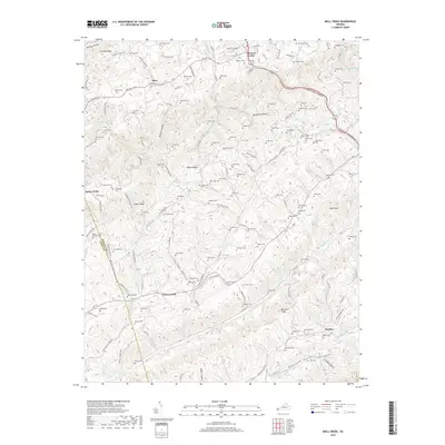
2019 Map of Moll Creek
USGS Topo · Published 2019About this map
Mew and Banners Corner sit along the northern reaches of this Russell County landscape, where the valley floors are dotted with family burial grounds and small settlements. The terrain is defined by parallel ridges including Bakers Ridge and the prominent Copper Ridge, which separates the drainages of Sinking Cr and Grassy Creek. This 2019 survey documents a deeply rooted rural community, showing the density of historical sites like Free Hill Cem and Sebas Chapel Cem that reflect generations of local residency.
Find a feature on this map
145 named features on this map. Tap any name to fly to it.
Don’t see what you’re looking for? This feature index may not catch every label — zoom into the map to look around manually.
Map Details
Editions of this 2019 Moll Creek Map
This is the sole edition of this map. No revisions or reprints were ever made.
Other maps of this area

1897 · Bristol
USGS Topo · 1:125,000

1902 · Bristol
USGS Topo · 1:125,000

1918 · Carterton
USGS Topo · 1:62,500

1920 · Coeburn
USGS Topo · 1:48,000

1934 · Wallace
USGS Topo · 1:24,000

1934 · Hansonville
USGS Topo · 1:24,000
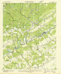
1934 · Carbo
USGS Topo · 1:24,000

1935 · Hilton
USGS Topo · 1:24,000

1935 · Mendota
USGS Topo · 1:24,000
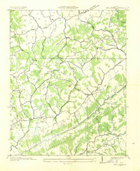
1935 · Moll Creek
USGS Topo · 1:24,000