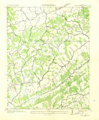
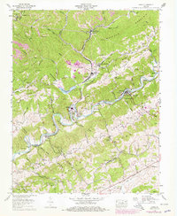
1934 Map of Hansonville
USGS Topo · Published 1934About this map
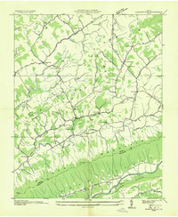
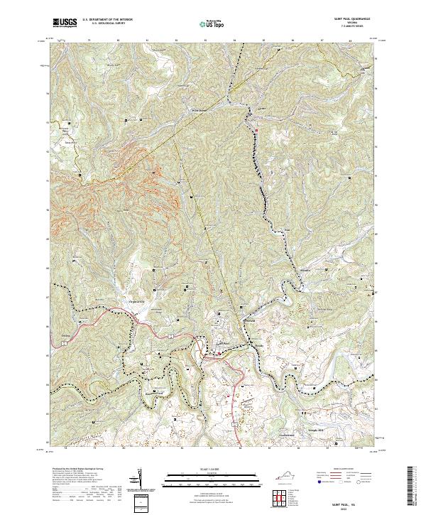
Dickensonville and Hansonville anchor this 1930s survey of the ridge-and-valley landscape along the border of Russell and Washington counties. Compiled from aerial photography by the Tennessee Valley Authority, the map illustrates a network of community-centered landmarks where local life was defined by the terrain. Moccasin Ridge and Clinch Mountain dominate the topography, funneling travel through passes like Lonesome Cove Highway. The agricultural and social fabric of the era is evident in the numerous rural institutions, including Stony Point School, Sulphur Springs School, and Maple Grove Church. At the southern edge, the North Fork Holston River provided a critical corridor for transport and industry, marked by Mc Faddens Ford and small settlements like Zenobia. Historic mills such as Millers Mill and Hawkins Mill along Moccasin Creek point to the local water-powered economy that sustained these Appalachian hollows.
Find a feature on this map
47 named features on this map. Tap any name to fly to it.
Don’t see what you’re looking for? This feature index may not catch every label — zoom into the map to look around manually.
Map Details
Editions of this 1934 Hansonville Map
This is the sole edition of this map. No revisions or reprints were ever made.
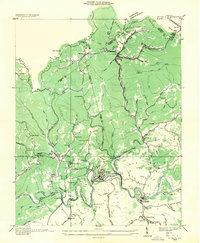
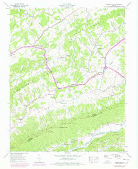
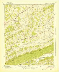
Historical Maps of Hawkins Mill Through Time
17 maps found
1918 Carterton
Russell County, VA
1934 Carbo
Russell County, VA
1934 Hansonville
Russell County, VA
1935 Elk Garden
Russell County, VA
1935 Moll Creek
Russell County, VA
1935 St Paul
Russell County, VA
1938 Hansonville
Russell County, VA
1939 Hansonville
Russell County, VA
1958 Carbo
Russell County, VA
1958 Elk Garden
Russell County, VA
1958 Moll Creek
Russell County, VA
1958 St Paul
Russell County, VA
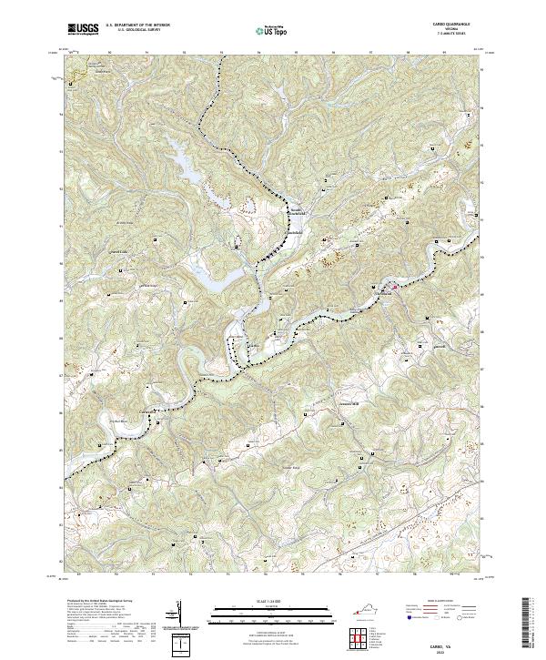
2022 Carbo
Russell County, VA
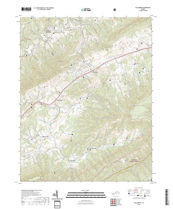
2022 Elk Garden
Russell County, VA
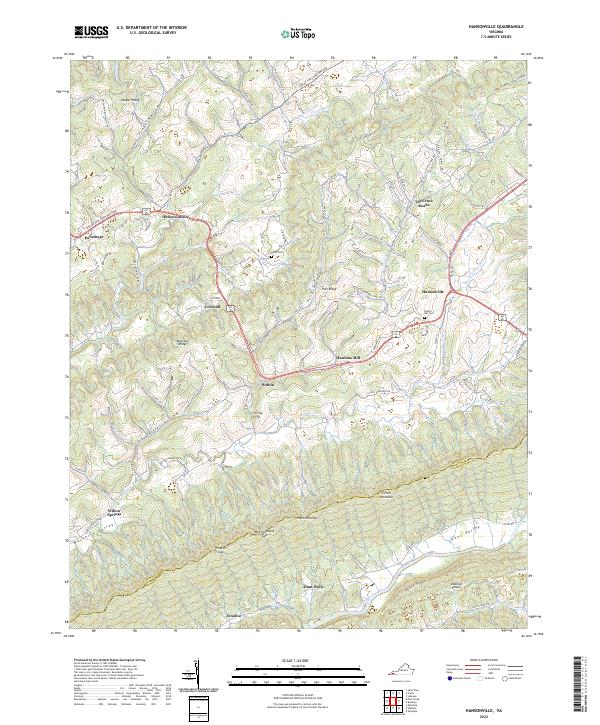
2022 Hansonville
Russell County, VA
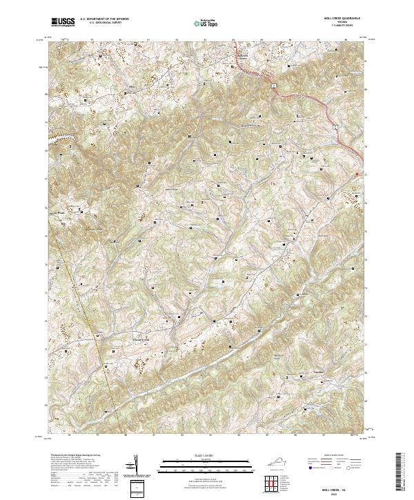
2022 Moll Creek
Russell County, VA
2022 Saint Paul
Russell County, VA