
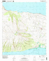
1952 Map of Molokai Airport
USGS Topo · Published 1954About this map
Hoolehua Homesteads define the structured landscape of central Molokai in the early 1950s, where a regular grid of avenues like Farrington Ave and Moomomi Ave meet the more organic terrain of the volcanic slopes. The Molokai Airport serves as a modern hub for the island, complete with its aeronautical beacon. To the west, the landscape rises toward Mauna Loa, marked by numerous deep gulches such as Hauakea Gulch and Anahaki Gulch that drain toward the northern coast. These coastal reaches include named points and coves like Moomomi and Kawaaloa, while the southern shore is defined by extensive mud flats and a coral reef near Kolo Wharf. Local landmarks such as Puu Nana and the settlement at Mahana provide critical reference points for the area's mid-century topography.
Find a feature on this map
76 named features on this map. Tap any name to fly to it.
Don’t see what you’re looking for? This feature index may not catch every label — zoom into the map to look around manually.
Map Details
Editions of this 1952 Molokai Airport Map
This is the sole edition of this map. No revisions or reprints were ever made.
Other maps of this area
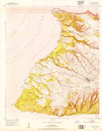
1952 · Ilio Point
USGS Topo · 1:24,000

1952 · Kaunakakai
USGS Topo · 1:24,000

1954 · Maui
USGS Topo · 1:250,000

1966 · Maui
USGS Topo · 1:250,000

1967 · Kaunakakai
USGS Topo · 1:24,000
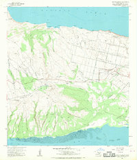
1968 · Molokai Airport
USGS Topo · 1:24,000
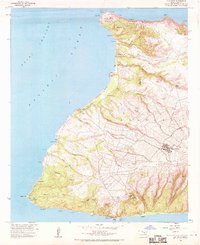
1968 · Ilio Point
USGS Topo · 1:24,000

1974 · Maui
USGS Topo · 1:250,000
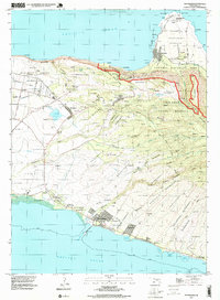
1993 · Kaunakakai
USGS Topo · 1:24,000
1993 · Molokai Airport
USGS Topo · 1:24,000