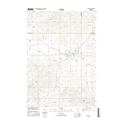
2015 Map of Mondovi
USGS Topo · Published 2015About this map
The Buffalo River carves a central path through this western Wisconsin landscape, where the city of Mondovi serves as the primary hub at the intersection of local water and road networks. The terrain is defined by a series of distinct valleys and ridges, many bearing the names of early settler families or communities, such as German Valley, Halverson Valley, and Thompson Valley. These geographical features suggest a history of decentralized agricultural settlement anchored by the more concentrated development in Mondovi, which is centered near Mirror Lake.
Find a feature on this map
91 named features on this map. Tap any name to fly to it.
Don’t see what you’re looking for? This feature index may not catch every label — zoom into the map to look around manually.
Map Details
Editions of this 2015 Mondovi Map
This is the sole edition of this map. No revisions or reprints were ever made.
Other maps of this area

1929 · Durand
USGS Topo · 1:62,500

1932 · Gilmanton
USGS Topo · 1:62,500

1932 · Durand
USGS Topo · 1:62,500

1932 · Alma
USGS Topo · 1:62,500

1932 · Mondovi
USGS Topo · 1:62,500

1950 · Alma
USGS Topo · 1:62,500

1953 · Eau Claire
USGS Topo · 1:250,000

1958 · Eau Claire
USGS Topo · 1:250,000

1964 · Eau Claire
USGS Topo · 1:250,000
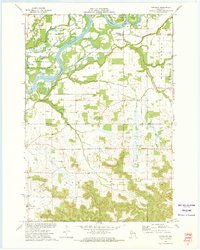
1972 · Meridean
USGS Topo · 1:24,000