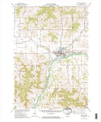
1973 Map of Mondovi
USGS Topo · Published 1975About this map
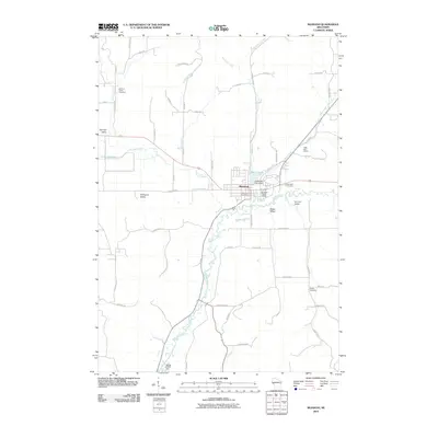
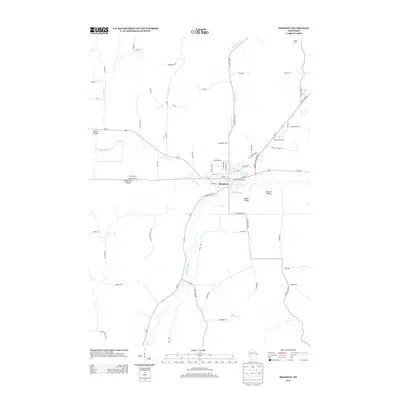
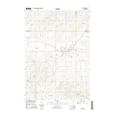
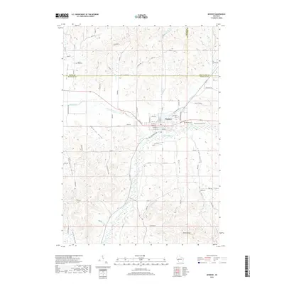
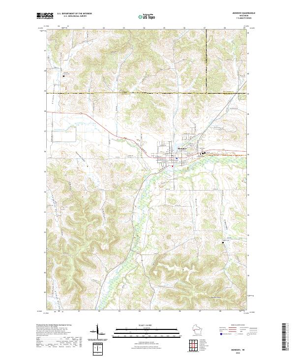
Mondovi serves as the focal point of this early 1970s survey, situated along the north bank of the Buffalo River. The town's layout is well-defined by the presence of its Fairground, Mirror Lake, and the Chicago and North Western rail line that runs parallel to the river. The surrounding landscape is characterized by a series of distinct valleys, many bearing family names that reflect the area's agricultural heritage, including German Valley, Halverson Valley, and Thompson Valley.
Find a feature on this map
39 named features on this map. Tap any name to fly to it.
Don’t see what you’re looking for? This feature index may not catch every label — zoom into the map to look around manually.
Map Details
Editions of this 1973 Mondovi Map
This is the sole edition of this map. No revisions or reprints were ever made.
Historical Maps of Mondovi Through Time
7 maps found