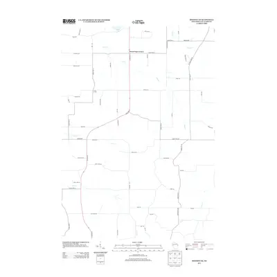
2013 Map of Mondovi NE
USGS Topo · Published 2013About this map
Mount Hope Corners serves as a primary junction in this rural section of Eau Claire County, where State Road 37 and several county highways stitch together the agricultural landscape. The terrain is defined by a dense network of tributaries including West Cr, Coon Cr, and Taylor Cr, which carve through the countryside north of the Buffalo County line. To the west, Candy Corners marks another small crossroads, illustrating the dispersed settlement pattern typical of the region's dairy and farming heritage.
Find a feature on this map
52 named features on this map. Tap any name to fly to it.
Don’t see what you’re looking for? This feature index may not catch every label — zoom into the map to look around manually.
Map Details
Editions of this 2013 Mondovi NE Map
This is the sole edition of this map. No revisions or reprints were ever made.
Other maps of this area

1927 · Strum
USGS Topo · 1:62,500

1930 · Strum
USGS Topo · 1:62,500

1932 · Mondovi
USGS Topo · 1:62,500

1934 · Elk Mound
USGS Topo · 1:62,500

1934 · Chippewa Falls
USGS Topo · 1:62,500

1936 · Chippewa Falls
USGS Topo · 1:62,500

1936 · Elk Mound
USGS Topo · 1:62,500

1953 · Eau Claire
USGS Topo · 1:250,000

1958 · Eau Claire
USGS Topo · 1:250,000

1964 · Eau Claire
USGS Topo · 1:250,000