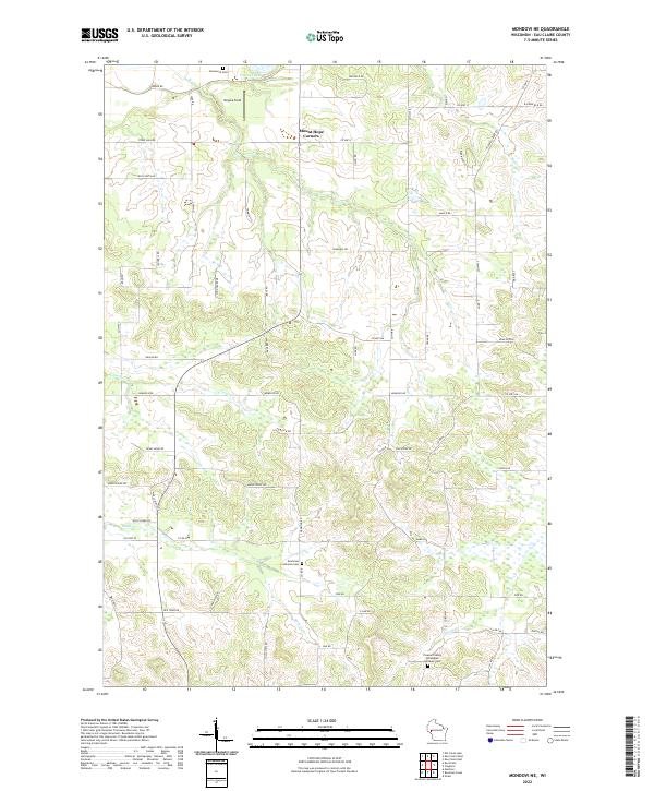
2022 Map of Mondovi NE
USGS Topo · Published 2022About this map
Mount Hope Corners serves as a central landmark in this portion of Eau Claire County, where the landscape is defined by the headwaters and drainages of several local streams. The area is marked by a deep-rooted religious and community history, evidenced by several well-maintained burial grounds including Drammen Lutheran Cem and the Pleasant Valley Norwegian Lutheran Cem. These sites, along with Brunswick Cem in the north, suggest the historical settlement patterns of Norwegian and other European immigrant groups who farmed these hills. Water features like Cooley Lake and the winding paths of Lowes Cr and Rock Cr break up the agricultural grid. A network of rural routes, including Maple Ridge Rd and Rock Falls Rd, connects the scattered farmsteads and agricultural clearings like Heyoka Field.
Find a feature on this map
64 named features on this map. Tap any name to fly to it.
Don’t see what you’re looking for? This feature index may not catch every label — zoom into the map to look around manually.
Map Details
Editions of this 2022 Mondovi NE Map
This is the sole edition of this map. No revisions or reprints were ever made.
Other maps of this area

1927 · Strum
USGS Topo · 1:62,500

1930 · Strum
USGS Topo · 1:62,500

1932 · Mondovi
USGS Topo · 1:62,500

1934 · Elk Mound
USGS Topo · 1:62,500

1934 · Chippewa Falls
USGS Topo · 1:62,500

1936 · Chippewa Falls
USGS Topo · 1:62,500

1936 · Elk Mound
USGS Topo · 1:62,500

1953 · Eau Claire
USGS Topo · 1:250,000

1958 · Eau Claire
USGS Topo · 1:250,000

1964 · Eau Claire
USGS Topo · 1:250,000