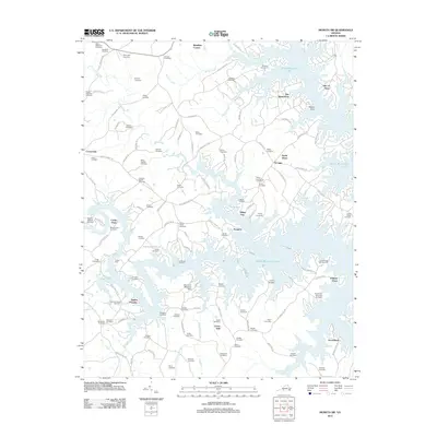
2012 Map of Moneta SW
USGS Topo · Published 2012About this map
Smith Mountain Lake dominates the landscape of Franklin County, defining the irregular, finger-like shoreline that characterizes this portion of the Roanoke River basin. This 2012 survey reveals a modern lakeside geography where residential developments and recreation hubs like The Waterfront, North Shore, and Smiths Paradise sit alongside much older family landmarks. Dozens of small burial grounds, including the Board-Robertson Cemetery, Holland Cemetery, and Dillon-English Cemetery, are preserved across the interior, offering a dense record of the area's ancestral families. Significant creek systems such as Gills Creek, Bettys Creek, and Standiford Creek feed into the reservoir, while aviation interest is represented by the Brammer Seaplane Base on the western shore. The map illustrates the contemporary road network, including Burnt Chimney Rd and Major Holland Rd, which connect rural crossroads like Union Hall and Scruggs to the winding lakefront peninsulas.
Find a feature on this map
113 named features on this map. Tap any name to fly to it.
Don’t see what you’re looking for? This feature index may not catch every label — zoom into the map to look around manually.
Map Details
Editions of this 2012 Moneta SW Map
This is the sole edition of this map. No revisions or reprints were ever made.
Other maps of this area

1890 · Roanoke
USGS Topo · 1:125,000

1891 · Roanoke
USGS Topo · 1:125,000

1922 · Callands
USGS Topo · 1:48,000

1924 · Callands
USGS Topo · 1:62,500

1925 · Rocky Mount
USGS Topo · 1:48,000

1927 · Rocky Mount
USGS Topo · 1:62,500

1944 · Rocky Mount
USGS Topo · 1:62,500

1944 · Callands
USGS Topo · 1:62,500

1947 · Roanoke
USGS Topo · 1:250,000

1951 · Boones Mill
USGS Topo · 1:62,500