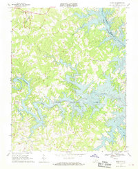
1967 Map of Moneta SW
USGS Topo · Published 1970About this map
Booker T Washington National Monument marks the northwest corner of this Piedmont landscape, preserving the birthplace of the famed educator amidst a terrain of deep creek valleys and rising reservoir waters. By the late 1960s, the formation of Smith Mountain Lake had fundamentally altered the confluence of the Roanoke River and Blackwater River, creating a complex shoreline that winds around former ridges like Standiford.
Find a feature on this map
27 named features on this map. Tap any name to fly to it.
Don’t see what you’re looking for? This feature index may not catch every label — zoom into the map to look around manually.
Map Details
Editions of this 1967 Moneta SW Map
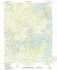
2 editions found
Other maps of this area

1890 · Roanoke
USGS Topo · 1:125,000

1891 · Roanoke
USGS Topo · 1:125,000

1922 · Callands
USGS Topo · 1:48,000

1924 · Callands
USGS Topo · 1:62,500

1925 · Rocky Mount
USGS Topo · 1:48,000

1927 · Rocky Mount
USGS Topo · 1:62,500

1944 · Rocky Mount
USGS Topo · 1:62,500

1944 · Callands
USGS Topo · 1:62,500

1947 · Roanoke
USGS Topo · 1:250,000

1951 · Boones Mill
USGS Topo · 1:62,500