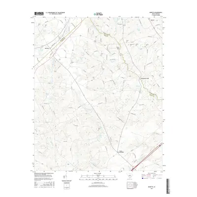
2017 Map of Monetta
USGS Topo · Published 2017About this map
The town of Monetta and the surrounding Ridge country of South Carolina are defined by a complex network of creeks and family-named ponds that trace the high ground between Saluda and Aiken counties. In this agricultural landscape, small communities like Kneece and Jones Crossroads serve as anchors for a rural population. The topography is marked by significant water features including Kneeces Mill Pond and Chinquapin Falls, where Chinquapin Cr flows toward the county line.
Find a feature on this map
108 named features on this map. Tap any name to fly to it.
Don’t see what you’re looking for? This feature index may not catch every label — zoom into the map to look around manually.
Map Details
Editions of this 2017 Monetta Map
This is the sole edition of this map. No revisions or reprints were ever made.
Other maps of this area

1920 · Aiken
USGS Topo · 1:48,000

1921 · Aiken
USGS Topo · 1:62,500

1943 · Aiken
USGS Topo · 1:62,500

1944 · Gilbert
USGS Topo · 1:62,500

1944 · Seivern
USGS Topo · 1:62,500

1954 · Augusta
USGS Topo · 1:250,000

1957 · Augusta
USGS Topo · 1:250,000

1958 · Augusta
USGS Topo · 1:250,000

1961 · Augusta
USGS Topo · 1:250,000

1962 · Augusta
USGS Topo · 1:250,000