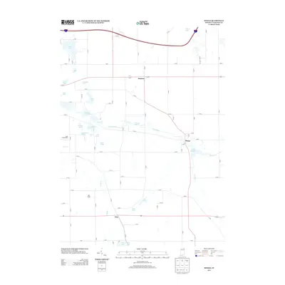
2013 Map of Mongo
USGS Topo · Published 2013About this map
The Pigeon River meanders through the heart of this LaGrange County landscape, shaping a series of wetlands and managed waters including Massasauga Marsh, Pike Marsh, and Ontario Millpond. The small settlements of Brighton, Mongo, and Plato serve as the primary human hubs in an area dominated by glacial topography and water-resource management. Local infrastructure centers on the river's path, most notably at the Nasby Dam and the Mongo Millpond, which reflect the historic utilization of the local waterways for power and milling. The terrain is largely defined by numerous small water bodies such as Troxel Lake, Cedar Lake, and Weir Lake, interspersed with local landmarks like The Knob and the Yoder Field Airport. A strictly gridded system of rural county roads connects these dispersed points of interest, providing a detailed view of the rural spatial organization in northeastern Indiana.
Find a feature on this map
73 named features on this map. Tap any name to fly to it.
Don’t see what you’re looking for? This feature index may not catch every label — zoom into the map to look around manually.
Map Details
Editions of this 2013 Mongo Map
This is the sole edition of this map. No revisions or reprints were ever made.
Other maps of this area

1940 · Orland
USGS Topo · 1:24,000

1941 · Orland
USGS Topo · 1:24,000

1942 · Stroh
USGS Topo · 1:24,000

1947 · Mongo
USGS Topo · 1:24,000

1947 · Lagrange
USGS Topo · 1:24,000

1947 · Wolcottville
USGS Topo · 1:24,000

1947 · Oliver Lake
USGS Topo · 1:24,000

1953 · Fort Wayne
USGS Topo · 1:250,000

1956 · Fort Wayne
USGS Topo · 1:250,000

1959 · Wolcottville
USGS Topo · 1:24,000