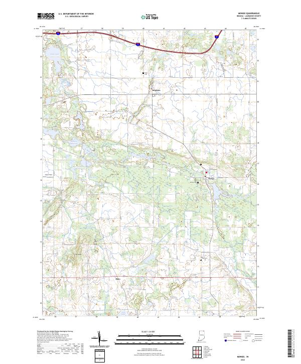
2022 Map of Mongo
USGS Topo · Published 2022About this map
Pigeon River dominates the northern reaches of this LaGrange County landscape, winding through a complex system of wetlands including Massassauga Marsh, D Marsh North, and Pike Marsh. The small settlement of Mongo serves as a central point, situated near the Nasby Dam and the Ontario Millpond. This area is characterized by its heavy glacial hydrology, featuring a high density of named water bodies like Cedar Lake, Weir Lake, and Donaldson Lake.
Find a feature on this map
33 named features on this map. Tap any name to fly to it.
Don’t see what you’re looking for? This feature index may not catch every label — zoom into the map to look around manually.
Map Details
Editions of this 2022 Mongo Map
This is the sole edition of this map. No revisions or reprints were ever made.
Other maps of this area

1940 · Orland
USGS Topo · 1:24,000

1941 · Orland
USGS Topo · 1:24,000

1942 · Stroh
USGS Topo · 1:24,000

1947 · Mongo
USGS Topo · 1:24,000

1947 · Lagrange
USGS Topo · 1:24,000

1947 · Wolcottville
USGS Topo · 1:24,000

1947 · Oliver Lake
USGS Topo · 1:24,000

1953 · Fort Wayne
USGS Topo · 1:250,000

1956 · Fort Wayne
USGS Topo · 1:250,000

1959 · Wolcottville
USGS Topo · 1:24,000