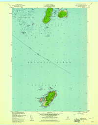
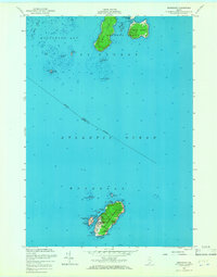
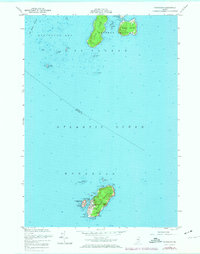
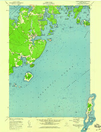
1955 Map of Monhegan
USGS Topo · Published 1959About this map
Monhegan Island and its smaller neighbor Manana Island anchor this mid-century maritime survey of the outer reaches of Muscongus Bay. In 1955, the small settlement of Monhegan serves as the heart of this rocky outpost, where a Lighthouse and U S Coast Guard Reservation stand watch over the Atlantic Ocean. The map reveals a landscape defined by navigation and survival, from the sheltered Monhegan Harbor to the formidable cliffs of Black Head and White Head.
Find a feature on this map
40 named features on this map. Tap any name to fly to it.
Don’t see what you’re looking for? This feature index may not catch every label — zoom into the map to look around manually.
Map Details
Editions of this 1955 Monhegan Map
4 editions found

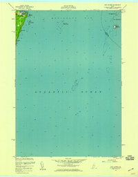
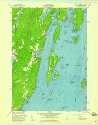
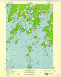
Other maps of this area

1904 · Monhegan
USGS Topo · 1:62,500

1904 · Tenants Harbor
USGS Topo · 1:62,500

1906 · Tennant Harbor
USGS Topo · 1:62,500

1906 · Monhegan
USGS Topo · 1:62,500

1948 · Bath
USGS Topo · 1:250,000
1955 · New Harbor
USGS Topo · 1:24,000
1955 · Tenants Harbor
USGS Topo · 1:24,000
1955 · Louds Island
USGS Topo · 1:24,000
1955 · Friendship
USGS Topo · 1:24,000

1956 · Bath
USGS Topo · 1:250,000
Featured Places
- Bristol, ME
- Saint George, ME
- Friendship, ME
- Monhegan, Monhegan Island Plantation
- Monhegan Island Plantation, ME