
1918 Map of Moniac
USGS Topo · Published 1918This historical map portrays the area of Moniac in 1918, primarily covering Charlton County as well as portions of Florida. Featuring a scale of 1:62500, this map provides a highly detailed snapshot of the terrain, roads, buildings, counties, and historical landmarks in the Moniac region at the time. Published in 1918, it is one of 2 known editions of this map due to revisions or reprints.
Find a feature on this map
60 named features on this map. Tap any name to fly to it.
Don’t see what you’re looking for? This feature index may not catch every label — zoom into the map to look around manually.
Map Details
Editions of this 1918 Moniac Map
2 editions found
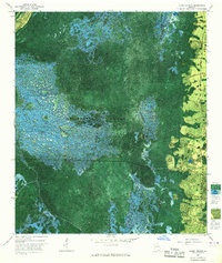
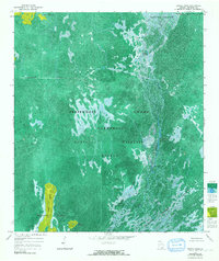
Historical Maps of Clarking Through Time
22 maps found
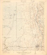
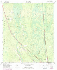
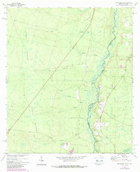
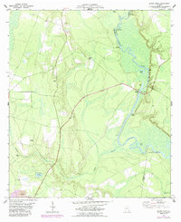
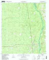
1918 Moniac
Charlton County, GA
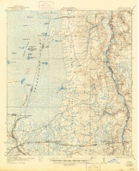
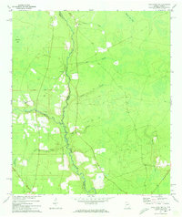
1942 Moniac
Charlton County, GA
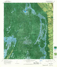
1965 Chase Prairie
Charlton County, GA
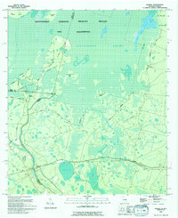
1965 Dinner Pond
Charlton County, GA
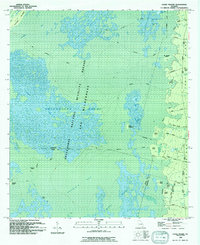
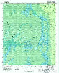
1965 Double Lakes
Charlton County, GA
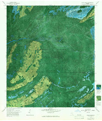
1966 Billys Island
Charlton County, GA
1966 Newell
Charlton County, GA
1966 St George
Charlton County, GA
1966 Toledo
Charlton County, GA
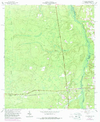
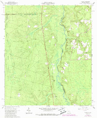
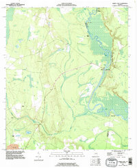
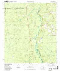
1967 Moniac
Charlton County, GA
1972 Macclenny NE
Charlton County, GA
1972 Macclenny NW
Charlton County, GA
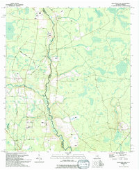
1978 Burnt Fort
Charlton County, GA
1993 Burnt Fort
Charlton County, GA
1994 Billys Island
Charlton County, GA
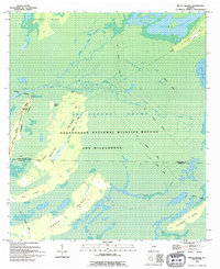
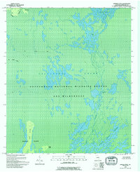
1994 Chase Prairie
Charlton County, GA
1994 Dinner Pond
Charlton County, GA
1994 Double Lakes
Charlton County, GA
1994 Macclenny NW
Charlton County, GA
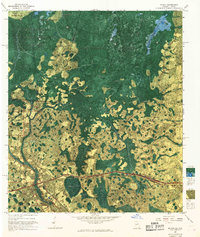
1994 Moniac
Charlton County, GA
1994 Saint George
Charlton County, GA
1994 Toledo
Charlton County, GA