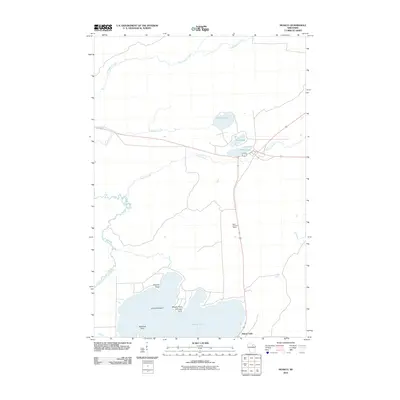
2010 Map of Monico
USGS Topo · Published 2010About this map
Pelican Lake dominates the southern landscape of this northern Wisconsin quadrangle, where a cluster of named landforms defines the lake's northern shore. Local geography is marked by several distinct points including Chicago Point, Weaver Point, and Mekanac Point, along with Crescent Island and Norway Point. These features indicate a shoreline long utilized for recreation and seasonal settlement, set within a broader network of waterways including the meandering Pelican River and Enterprise Creek.
Find a feature on this map
17 named features on this map. Tap any name to fly to it.
Don’t see what you’re looking for? This feature index may not catch every label — zoom into the map to look around manually.
Map Details
Editions of this 2010 Monico Map
This is the sole edition of this map. No revisions or reprints were ever made.
Other maps of this area

1940 · Parrish
USGS Topo · 1:48,000

1940 · Monico
USGS Topo · 1:48,000

1940 · Rhinelander
USGS Topo · 1:48,000

1942 · Elcho
USGS Topo · 1:48,000

1949 · Rhinelander
USGS Topo · 1:48,000

1950 · Monico
USGS Topo · 1:48,000

1950 · Elcho
USGS Topo · 1:48,000

1950 · Parrish
USGS Topo · 1:48,000

1952 · Parrish
USGS Topo · 1:48,000

1954 · Iron Mountain
USGS Topo · 1:250,000