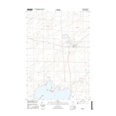
2015 Map of Monico
USGS Topo · Published 2015About this map
Monico serves as the central hub of this Northwoods landscape, situated at a junction of roads and waterways during the mid-2010s. To the north, a cluster of planetary-named water bodies—Neptune Lake, Mars Lake, and Venus Lake—shape the local geography alongside Monico Cr. The southern portion of the map is dominated by the sprawling waters of Pelican Lake, a significant feature for local recreation and hydrology. This shoreline is defined by numerous named landforms including Norway Point, Chicago Point, and Mekanac Point, while Crescent Island sits prominently within the lake. The land is crisscrossed by a network of local routes such as Cemetery Rd and Old 26 Rd, which connect the small settlement of Monico to the surrounding timberlands and lakeshore properties, reflecting the area's long-standing character as a crossroads for travelers and seasonal residents in Oneida County.
Find a feature on this map
47 named features on this map. Tap any name to fly to it.
Don’t see what you’re looking for? This feature index may not catch every label — zoom into the map to look around manually.
Map Details
Editions of this 2015 Monico Map
This is the sole edition of this map. No revisions or reprints were ever made.
Other maps of this area

1940 · Parrish
USGS Topo · 1:48,000

1940 · Monico
USGS Topo · 1:48,000

1940 · Rhinelander
USGS Topo · 1:48,000

1942 · Elcho
USGS Topo · 1:48,000

1949 · Rhinelander
USGS Topo · 1:48,000

1950 · Monico
USGS Topo · 1:48,000

1950 · Elcho
USGS Topo · 1:48,000

1950 · Parrish
USGS Topo · 1:48,000

1952 · Parrish
USGS Topo · 1:48,000

1954 · Iron Mountain
USGS Topo · 1:250,000