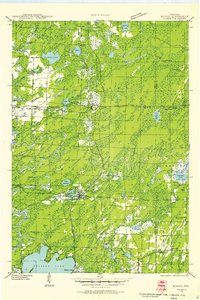
1940 Map of Monico
USGS Topo · Published 1955About this map
Monico serves as the central hub of this 1940 field-examined landscape, situated at the vital junction of the Chicago And Northwestern and the Minneapolis ST Paul And Sault Ste Marie railroads. This intersection defines the local economy of the era, connecting scattered timber and agricultural settlements like Gagen, Starks, and Hiles Junction. The topography is dominated by a dense network of glacial lakes and wetlands, including the expansive Pelican Lake and the smaller, clustered waters of Lake Ogemaga and Lake Segulla.
Find a feature on this map
52 named features on this map. Tap any name to fly to it.
Don’t see what you’re looking for? This feature index may not catch every label — zoom into the map to look around manually.
Map Details
Editions of this 1940 Monico Map
This is the sole edition of this map. No revisions or reprints were ever made.
Other maps of this area
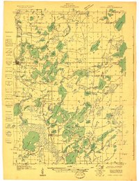
1928 · Three Lakes
USGS Topo · 1:48,000
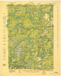
1930 · Robbins
USGS Topo · 1:48,000
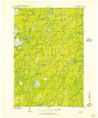
1938 · Alvin
USGS Topo · 1:48,000
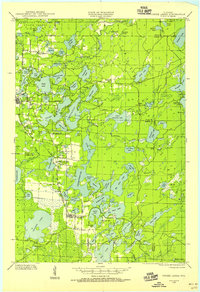
1938 · Three Lakes
USGS Topo · 1:48,000
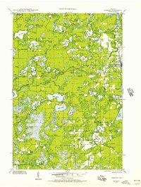
1938 · Robbins
USGS Topo · 1:48,000
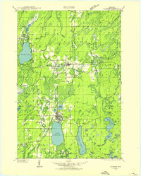
1939 · Crandon
USGS Topo · 1:48,000
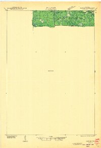
1940 · Parrish
USGS Topo · 1:48,000
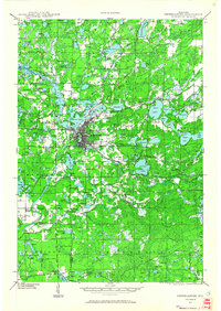
1940 · Rhinelander
USGS Topo · 1:48,000
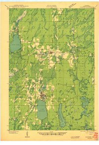
1941 · Crandon
USGS Topo · 1:48,000
1942 · Elcho
USGS Topo · 1:48,000