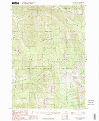
1987 Map of Monitor Peak
USGS Topo · Published 1987About this map
Monitor Peak dominates this high-elevation landscape in Park County, Montana, where the terrain is defined by the intersections of the Gallatin National Forest and the Absaroka-Beartooth Wilderness. The map reveals a complex drainage system feeding into the Yellowstone River valley, primarily through Sixmile Creek and Emigrant Creek. The presence of Placer Basin Creek and names like Huckleberry Gulch suggest a history of resource extraction and seasonal foraging in these steep mountains. Movement through this backcountry is largely restricted to a primitive Pack Trail, emphasizing the area's isolation even into the late 1980s. Notable landmarks like Fish Lake and Sliding Mountain provide fixed points for navigating the deep drainages of Cedar Creek and the North Fork Bear Creek.
Find a feature on this map
19 named features on this map. Tap any name to fly to it.
Don’t see what you’re looking for? This feature index may not catch every label — zoom into the map to look around manually.
Map Details
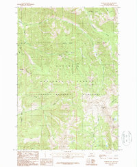
Editions of this 1987 Monitor Peak Map
2 editions found
Other maps of this area

1891 · Livingston
USGS Topo · 1:250,000

1893 · Livingston
USGS Topo · 1:250,000

1947 · Bozeman
USGS Topo · 1:250,000

1948 · Bozeman
USGS Topo · 1:250,000

1955 · Bozeman
USGS Topo · 1:250,000

1955 · Emigrant
USGS Topo · 1:62,500

1955 · Fridley Peak
USGS Topo · 1:62,500
1955 · Gardiner
USGS Topo · 1:62,500
1955 · Miner
USGS Topo · 1:62,500

1958 · Bozeman
USGS Topo · 1:250,000