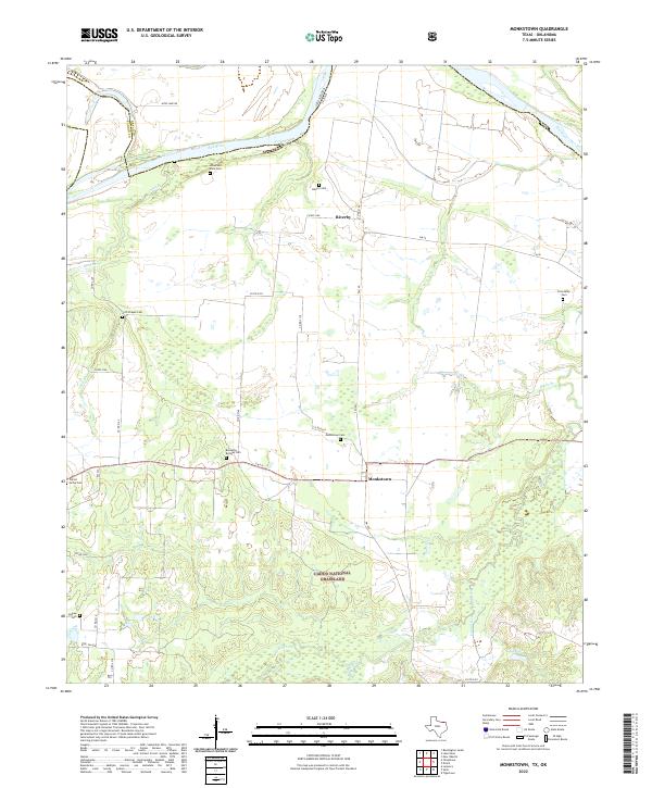
2022 Map of Monkstown
USGS Topo · Published 2022About this map
Monkstown and Riverby sit along the southern banks of the Red River, marking the boundary between Fannin County, Texas, and Bryan County, Oklahoma. This modern topographic survey reveals a landscape of dispersed agricultural settlements and extensive public lands, notably the Caddo National Grassland which dominates the southern portion of the sheet. The terrain is defined by a dense network of tributaries including Black Branch, Sandy Creek, and Tanyard Creek, which flow toward the primary river corridor.
Find a feature on this map
40 named features on this map. Tap any name to fly to it.
Don’t see what you’re looking for? This feature index may not catch every label — zoom into the map to look around manually.
Map Details
Editions of this 2022 Monkstown Map
This is the sole edition of this map. No revisions or reprints were ever made.
Other maps of this area

1903 · Paris
USGS Topo · 1:125,000

1947 · Honey Grove
USGS Topo · 1:62,500

1948 · Direct
USGS Topo · 1:62,500

1949 · Direct
USGS Topo · 1:62,500

1949 · Honey Grove
USGS Topo · 1:62,500

1953 · Texarkana
USGS Topo · 1:250,000

1954 · Sherman
USGS Topo · 1:250,000

1956 · Texarkana
USGS Topo · 1:250,000

1957 · Wade
USGS Topo · 1:62,500

1958 · Bonham
USGS Topo · 1:62,500