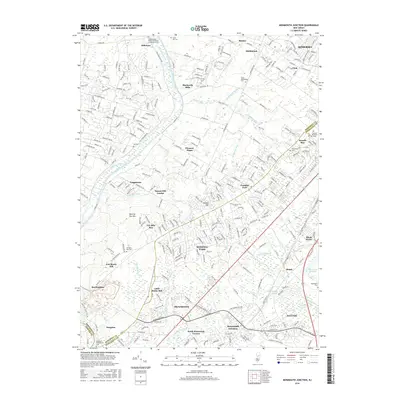
2016 Map of Monmouth Junction
USGS Topo · Published 2016About this map
The Millstone River and the historic Delaware and Raritan Canal corridor define the western edge of this central New Jersey landscape. This mid-2010s survey shows a region of dense suburban development interwoven with protected natural spaces like Pigeons Swamp and the Sixmile Run watershed. Significant local history is preserved in the numerous burying grounds, including the Hillsborough Reformed Church at Millstone Cem and Ten Mile Run Cem.
Find a feature on this map
283 named features on this map. Tap any name to fly to it.
Don’t see what you’re looking for? This feature index may not catch every label — zoom into the map to look around manually.
Map Details
Editions of this 2016 Monmouth Junction Map
This is the sole edition of this map. No revisions or reprints were ever made.
Other maps of this area

1888 · Plainfield
USGS Topo · 1:62,500

1888 · New Brunswick
USGS Topo · 1:62,500

1888 · Princeton
USGS Topo · 1:62,500

1891 · Somerville
USGS Topo · 1:62,500

1893 · New Brunswick
USGS Topo · 1:62,500

1893 · Plainfield
USGS Topo · 1:62,500

1893 · Somerville
USGS Topo · 1:62,500

1894 · Princeton
USGS Topo · 1:62,500

1898 · Plainfield
USGS Topo · 1:62,500

1898 · Somerville
USGS Topo · 1:62,500
Featured Places
- Franklin Township, NJ
- South Brunswick, NJ
- North Brunswick Township, NJ
- Hillsborough Township, NJ
- Montgomery Township, NJ