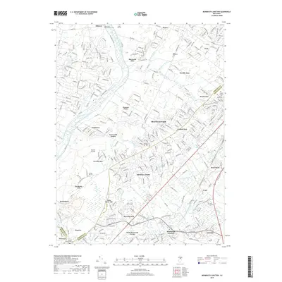
2019 Map of Monmouth Junction
USGS Topo · Published 2019About this map
Monmouth Junction and the surrounding Somerset and Middlesex County corridor are defined by the long-standing transit routes of the Millstone River and the Delaware and Raritan Canal. This landscape preserves a deep layer of early New Jersey history through its numerous burial grounds, including the Hillsborough Reformed Church Cem and the Kingston Presbyterian Cem. The map illustrates the convergence of historic village centers like Griggstown and Blackwells Mills with modern residential expansions in Kendall Park and Heathcote.
Find a feature on this map
319 named features on this map. Tap any name to fly to it.
Don’t see what you’re looking for? This feature index may not catch every label — zoom into the map to look around manually.
Map Details
Editions of this 2019 Monmouth Junction Map
This is the sole edition of this map. No revisions or reprints were ever made.
Other maps of this area

1888 · Plainfield
USGS Topo · 1:62,500

1888 · New Brunswick
USGS Topo · 1:62,500

1888 · Princeton
USGS Topo · 1:62,500

1891 · Somerville
USGS Topo · 1:62,500

1893 · New Brunswick
USGS Topo · 1:62,500

1893 · Plainfield
USGS Topo · 1:62,500

1893 · Somerville
USGS Topo · 1:62,500

1894 · Princeton
USGS Topo · 1:62,500

1898 · Plainfield
USGS Topo · 1:62,500

1898 · Somerville
USGS Topo · 1:62,500
Featured Places
- Franklin Township, NJ
- South Brunswick, NJ
- North Brunswick Township, NJ
- Hillsborough Township, NJ
- Montgomery Township, NJ