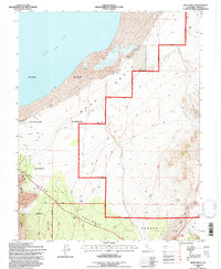
1994 Map of Mono Mills
USGS Topo · Published 1997About this map
Mono Lake shoreline and the high-altitude desert of the Mono Basin define this 1994 survey, where the ecological boundary between the water and the arid highlands is marked by features like Simons Spring. The landscape is heavily influenced by volcanic and industrial history, evidenced by the Pumice Quarry and various Prospects scattered across the eastern slopes of the Inyo National Forest. In the southern portion of the map, the namesake Mono Mills and the associated Mills and Mills AZ sites point to the region's historical timber and milling activities that once supported nearby mining booms. This edition shows the area during its management as the Mono Basin National Forest Scenic Area, balancing the preservation of features like Big Sand Flat with the visible remnants of earlier resource extraction.
Find a feature on this map
25 named features on this map. Tap any name to fly to it.
Don’t see what you’re looking for? This feature index may not catch every label — zoom into the map to look around manually.
Map Details
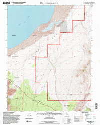
Editions of this 1994 Mono Mills Map
2 editions found
Other maps of this area

1901 · Mt. Lyell
USGS Topo · 1:125,000

1909 · Hawthorne
USGS Topo · 1:250,000

1909 · Bridgeport
USGS Topo · 1:125,000

1911 · Bridgeport
USGS Topo · 1:125,000

1911 · Hawthorne
USGS Topo · 1:250,000

1914 · Mt. Morrison
USGS Topo · 1:125,000

1915 · Hawthorne
USGS Topo · 1:250,000

1920 · Bridgeport
USGS Topo · 1:125,000

1947 · Mariposa
USGS Topo · 1:250,000

1948 · Walker Lake
USGS Topo · 1:250,000