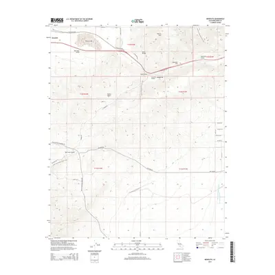
2015 Map of Monolith
USGS Topo · Published 2015About this map
Tehachapi Pass serves as a critical transition point on this map where the Sierra Nevada meets the Mojave Desert. The industrial settlement of Monolith sits in the northwest corner near the dry expanse of Proctor Lake, while the smaller community of Cameron is situated further east along the canyon floor. This landscape is defined by its infrastructure and transport corridors, featuring the winding route of the Pacific Crest National Scenic Trail as it traverses the high ridges, and the massive water conveyance systems of the Los Angeles Aqueduct and Second Los Angeles Aqueduct cutting across the desert floor to the southeast. High peaks such as Pajuela Peak overlook numerous drainages like Oak Creek Canyon and Sand Canyon, illustrating the complex drainage patterns required to manage seasonal runoff in this arid environment.
Find a feature on this map
33 named features on this map. Tap any name to fly to it.
Don’t see what you’re looking for? This feature index may not catch every label — zoom into the map to look around manually.
Map Details
Editions of this 2015 Monolith Map
This is the sole edition of this map. No revisions or reprints were ever made.
Other maps of this area

1915 · Elizabeth Lake
USGS Topo · 1:125,000

1915 · Mojave
USGS Topo · 1:125,000

1917 · Elizabeth Lake
USGS Topo · 1:125,000

1943 · Rosamond
USGS Topo · 1:62,500

1943 · Tehachapi
USGS Topo · 1:62,500

1943 · Mojave
USGS Topo · 1:62,500

1943 · Willow Springs
USGS Topo · 1:62,500

1947 · Mojave
USGS Topo · 1:24,000

1947 · Soledad Mountain
USGS Topo · 1:24,000

1948 · Bakersfield
USGS Topo · 1:250,000