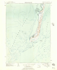
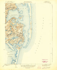
1953 Map of Monomoy Point
USGS Topo · Published 1957About this map
Monomoy National Wildlife Refuge dominates this mid-century survey of the fragile barrier beach system off the coast of Barnstable. The map illustrates a landscape of shifting sands and coastal transitions, where the Atlantic Ocean meets Nantucket Sound. Key maritime navigation points and coastal landmarks are meticulously charted, including the Bristol Club near the northern marshes and the Stone Horse Light Ship anchored in the deeper waters of Butler Hole.
Find a feature on this map
20 named features on this map. Tap any name to fly to it.
Don’t see what you’re looking for? This feature index may not catch every label — zoom into the map to look around manually.
Map Details
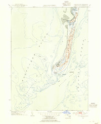
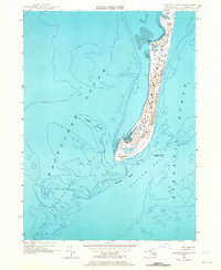
Editions of this 1953 Monomoy Point Map
3 editions found
Other maps of this area

1887 · Yarmouth
USGS Topo · 1:62,500

1888 · Chatham
USGS Topo · 1:62,500

1889 · Yarmouth
USGS Topo · 1:62,500

1893 · Chatham
USGS Topo · 1:62,500

1893 · Yarmouth
USGS Topo · 1:62,500

1917 · Chatham
USGS Topo · 1:62,500

1942 · Cape Cod Bay
USGS Topo · 1:125,000
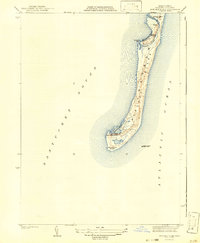
1942 · Monomoy Point
USGS Topo · 1:31,680
1942 · Chatham
USGS Topo · 1:31,680

1942 · Nauset
USGS Topo · 1:125,000