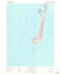
1964 Map of Monomoy Point
USGS Topo · Published 1972About this map
Monomoy National Wildlife Refuge dominates this coastal survey, illustrating the fragile and shifting topography of the Chatham shoreline in the mid-1960s. The map highlights the dynamic nature of this barrier beach system, from the Barrier Dunes to the intricate network of tidal flats and salt ponds like Hospital Pond and Big Station Pond. A significant historical landmark is the Lighthouse (Abandoned) near the southern tip, standing as a sentinel over the treacherous waters of Nantucket Sound and the Atlantic Ocean.
Find a feature on this map
24 named features on this map. Tap any name to fly to it.
Don’t see what you’re looking for? This feature index may not catch every label — zoom into the map to look around manually.
Map Details
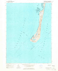
Editions of this 1964 Monomoy Point Map
2 editions found
Other maps of this area

1887 · Yarmouth
USGS Topo · 1:62,500

1888 · Chatham
USGS Topo · 1:62,500

1889 · Yarmouth
USGS Topo · 1:62,500

1893 · Chatham
USGS Topo · 1:62,500

1893 · Yarmouth
USGS Topo · 1:62,500

1917 · Chatham
USGS Topo · 1:62,500

1942 · Cape Cod Bay
USGS Topo · 1:125,000
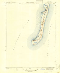
1942 · Monomoy Point
USGS Topo · 1:31,680
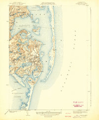
1942 · Chatham
USGS Topo · 1:31,680

1942 · Nauset
USGS Topo · 1:125,000