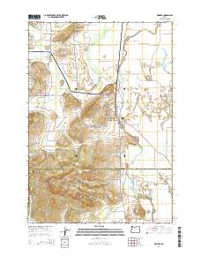
2014 Map of Monroe
USGS Topo · Published 2014About this map
The Long Tom River meanders through the Willamette Valley in this 2014 survey, anchoring a landscape where agriculture and small-town life meet the rising hills of the Coast Range. The settlement of Monroe serves as a focal point along the Pacific Hwy W, while the smaller communities of Bellfountain and Alpine sit to the west, surrounded by a dense network of country roads like Bellfountain Rd and Alpine Rd. The terrain transitions from the flat, lake-dotted plains near Harkens Lake and Garlinghouse Lake to the more prominent elevations of Win Ridge and Oliver Butte. Local history is deeply etched into the land through numerous small burial grounds, including the Monroe Cem and the Saint Rose Cem. The hydrography is particularly intricate, featuring various sloughs and creeks such as Muddy Creek and Ferguson Creek, which shaped the early development and land use of this region spanning the Benton and Lane county line.
Find a feature on this map
95 named features on this map. Tap any name to fly to it.
Don’t see what you’re looking for? This feature index may not catch every label — zoom into the map to look around manually.
Map Details
Editions of this 2014 Monroe Map
This is the sole edition of this map. No revisions or reprints were ever made.
Other maps of this area

1909 · Harrisburg
USGS Topo · 1:31,680

1909 · Elmira
USGS Topo · 1:62,500

1910 · Eugene
USGS Topo · 1:62,500

1911 · Monroe
USGS Topo · 1:31,680

1911 · Inavale
USGS Topo · 1:31,680

1912 · Halsey
USGS Topo · 1:62,500

1922 · Monroe
USGS Topo · 1:62,500

1922 · Elmira
USGS Topo · 1:62,500

1939 · Monroe
USGS Topo · 1:62,500

1940 · Eugene
USGS Topo · 1:62,500