2023 Map of Monroe
USGS Topo · Published 2023About this map
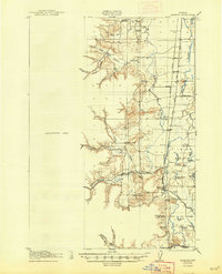
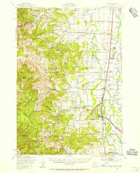
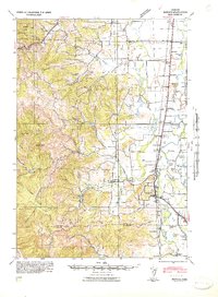
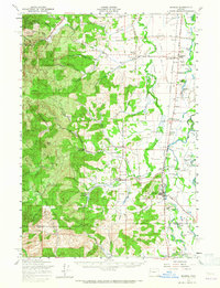
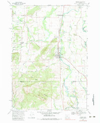
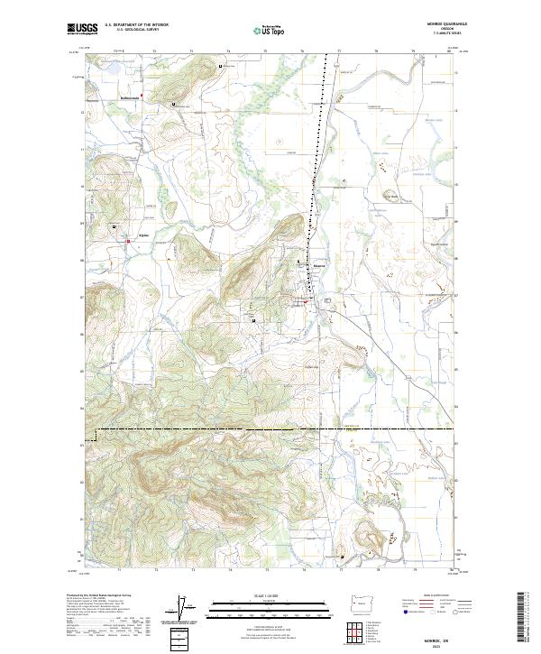
The town of Monroe serves as the focal point for this survey of south-central Benton County, situated along the Long Tom River at the edge of the Willamette Valley. The landscape transitions from the flat floodplains of the river and Muddy Creek into the rising timbered slopes of Win Ridge and the foothills to the west. This geographical shift is reflected in the land use, where low-lying areas are marked by complex water features like Blue Lake Slough and Lake Slough, while the higher ground supports the small communities of Alpine and Bellfountain.
Find a feature on this map
91 named features on this map. Tap any name to fly to it.
Don’t see what you’re looking for? This feature index may not catch every label — zoom into the map to look around manually.
Map Details
Editions of this 2023 Monroe Map
This is the sole edition of this map. No revisions or reprints were ever made.
Historical Maps of Alpine Through Time
7 maps found