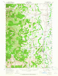
1957 Map of Monroe
USGS Topo · Published 1965About this map
Monroe and Bellfountain sit at the transition between the valley floor and the timbered slopes of the Siuslaw National Forest during the mid-1950s. The agricultural character of the Long Tom River floodplain is defined by an intricate network of oxbow lakes and wetlands, including Harkens Lake, McBee Lake, and Whitaker Lake. The infrastructure of the era is clearly visible through the Southern Pacific rail lines that connect settlements like Alpine Junction, Barclay, and Rickard, supporting the local timber and farming economies. Further west, the terrain rises sharply toward Green Peak and Buck Peak, where logging and watershed protection were primary concerns within the Corvallis Watershed Wild Animal Refuge. Local social geography is recorded through sites such as the Oak Ridge Cemetery and Irish Bend School, reflecting a period when small rural school districts and family-named landmarks still anchored the community landscape.
Find a feature on this map
72 named features on this map. Tap any name to fly to it.
Don’t see what you’re looking for? This feature index may not catch every label — zoom into the map to look around manually.
Map Details
Editions of this 1957 Monroe Map
2 editions found
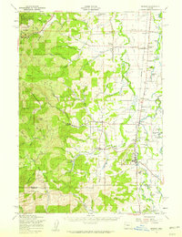
Other maps of this area

1909 · Harrisburg
USGS Topo · 1:31,680

1909 · Elmira
USGS Topo · 1:62,500

1910 · Eugene
USGS Topo · 1:62,500

1911 · Monroe
USGS Topo · 1:31,680

1911 · Inavale
USGS Topo · 1:31,680

1912 · Halsey
USGS Topo · 1:62,500

1913 · Philomath
USGS Topo · 1:31,680

1913 · Oakville
USGS Topo · 1:31,680

1916 · Albany
USGS Topo · 1:62,500

1921 · Corvallis
USGS Topo · 1:62,500