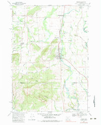
1969 Map of Monroe
USGS Topo · Published 1983About this map
Monroe sits at the eastern edge of the foothills where the Long Tom River floodplain begins, serving as a hub for the surrounding agricultural and timber lands during the late 1960s. The landscape is defined by a dense network of watercourses, including Muddy Creek, which meanders through the central valley, and the sharp rise of Browning Ridge and Win Ridge to the south. This era shows the local infrastructure in transition, with the Southern Pacific line still active through Bellfountain Junction and Alpine Junction, while an Old Railroad Grade suggests earlier corridors already fallen out of use.
Find a feature on this map
58 named features on this map. Tap any name to fly to it.
Don’t see what you’re looking for? This feature index may not catch every label — zoom into the map to look around manually.
Map Details
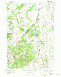
Editions of this 1969 Monroe Map
2 editions found
Other maps of this area

1909 · Harrisburg
USGS Topo · 1:31,680

1909 · Elmira
USGS Topo · 1:62,500

1910 · Eugene
USGS Topo · 1:62,500

1911 · Monroe
USGS Topo · 1:31,680

1911 · Inavale
USGS Topo · 1:31,680

1912 · Halsey
USGS Topo · 1:62,500

1922 · Monroe
USGS Topo · 1:62,500

1922 · Elmira
USGS Topo · 1:62,500

1939 · Monroe
USGS Topo · 1:62,500

1940 · Eugene
USGS Topo · 1:62,500