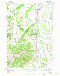
1969 Map of Monroe
USGS Topo · Published 1971About this map
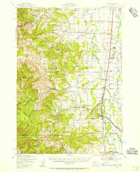
Monroe serves as a central hub on this 1960s survey, situated where the Long Tom River winds through the Willamette Valley. The landscape reveals a complex network of transportation and rural industry, with the Southern Pacific line and the Pacific Highway West facilitating movement through the valley floor. Settlement patterns are concentrated at historic junctions like Bellfountain, Alpine, and Bailey Junction.
Find a feature on this map
53 named features on this map. Tap any name to fly to it.
Don’t see what you’re looking for? This feature index may not catch every label — zoom into the map to look around manually.
Map Details
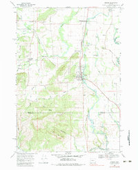
Editions of this 1969 Monroe Map
2 editions found
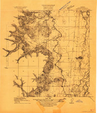
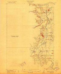
Other maps of this area

1909 · Harrisburg
USGS Topo · 1:31,680

1909 · Elmira
USGS Topo · 1:62,500

1910 · Eugene
USGS Topo · 1:62,500

1911 · Monroe
USGS Topo · 1:31,680
1911 · Inavale
USGS Topo · 1:31,680

1912 · Halsey
USGS Topo · 1:62,500

1922 · Monroe
USGS Topo · 1:62,500
1922 · Elmira
USGS Topo · 1:62,500
1939 · Monroe
USGS Topo · 1:62,500

1940 · Eugene
USGS Topo · 1:62,500