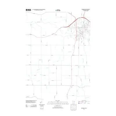
2013 Map of Monroe
USGS Topo · Published 2013About this map
Honey Cr and its numerous tributaries, including Smock Cr and Whitehead Cr, define the drainage patterns across this section of Green County. The landscape is characterized by a dense network of rural corridors, where family-named thoroughfares like Rufenacht Rd, Steiner Rd, and Kundert Rd indicate long-standing agricultural landholdings. These roads navigate the undulating terrain between Zander Cr and Spring Cr, tracing a history of settlement that predates modern highway developments. The intersection of State Road 11 and State Road 69 serves as a primary transit hub, while smaller routes like Smock Valley Rd follow the natural contours of the stream valleys. This 2013 survey provides a clear view of the transition from the structured street grid in the northeast to the expansive rural sections to the south and west.
Find a feature on this map
90 named features on this map. Tap any name to fly to it.
Don’t see what you’re looking for? This feature index may not catch every label — zoom into the map to look around manually.
Map Details
Editions of this 2013 Monroe Map
This is the sole edition of this map. No revisions or reprints were ever made.
Other maps of this area

1920 · Monroe
USGS Topo · 1:62,500

1922 · Monroe
USGS Topo · 1:62,500

1923 · South Wayne
USGS Topo · 1:62,500

1937 · Lena
USGS Topo · 1:48,000

1939 · Freeport
USGS Topo · 1:48,000

1942 · Lena
USGS Topo · 1:62,500

1943 · Lena
USGS Topo · 1:62,500

1944 · Freeport
USGS Topo · 1:62,500

1954 · Rockford
USGS Topo · 1:250,000

1955 · Rockford
USGS Topo · 1:250,000