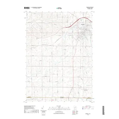
2018 Map of Monroe
USGS Topo · Published 2018About this map
Monroe anchors the northern portion of this landscape, where the street grid of the city meets the agricultural terrain of Green County. This 2018 survey reveals a topography defined by an intricate network of waterways, including Honey Cr and Skinner Cr, which drain the undulating hills of the region. The map documents significant local history sites such as Calvary Cem, Franklin Cem, and Greenwood Cem, providing essential data for genealogists tracing family ties to the area. To the south, the smaller settlements of Clarno and Schneyville sit near the border between Wisconsin and Illinois. Modern land use is evidenced by the Cheese Country Recreation Trail, which cuts across the western portion of the quadrangle, repurposing older transportation corridors for modern use.
Find a feature on this map
58 named features on this map. Tap any name to fly to it.
Don’t see what you’re looking for? This feature index may not catch every label — zoom into the map to look around manually.
Map Details
Editions of this 2018 Monroe Map
This is the sole edition of this map. No revisions or reprints were ever made.
Other maps of this area

1920 · Monroe
USGS Topo · 1:62,500

1922 · Monroe
USGS Topo · 1:62,500

1923 · South Wayne
USGS Topo · 1:62,500

1937 · Lena
USGS Topo · 1:48,000

1939 · Freeport
USGS Topo · 1:48,000

1942 · Lena
USGS Topo · 1:62,500

1943 · Lena
USGS Topo · 1:62,500

1944 · Freeport
USGS Topo · 1:62,500

1954 · Rockford
USGS Topo · 1:250,000

1955 · Rockford
USGS Topo · 1:250,000