Loading...
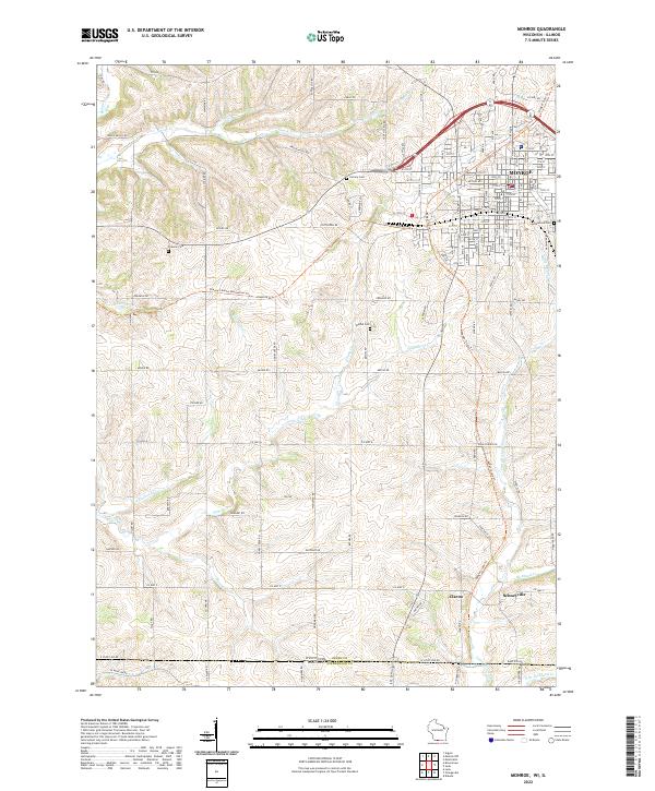
Loading map...2022 Map of Monroe
USGS Topo · Published 2022About this map
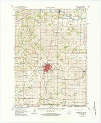
Monroe sits at the northern edge of this landscape, serving as a hub for the rolling agricultural lands of Green Co and the border country with Illinois. The terrain is defined by a dendritic network of streams, including Smock Cr and Whitehead Cr, which carve through the countryside toward the state line. South of the main settlement, the smaller communities of Clarno and Schneyville anchor the rural sections near E State Line Rd.
Find a feature on this map
28 named features on this map. Tap any name to fly to it.
Don’t see what you’re looking for? This feature index may not catch every label — zoom into the map to look around manually.
Map Details
Date Portrayed2022
Date Published2022
PublisherU.S. Geological Survey
Map TypeTopographic
Scale1:24,000
Physical Dimensions24 x 29 inches
Editions of this 2022 Monroe Map
This is the sole edition of this map. No revisions or reprints were ever made.
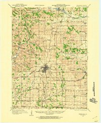
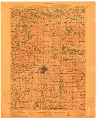
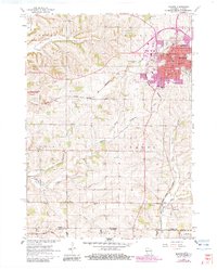
Historical Maps of Monroe Through Time
6 maps found

Featured Locations
Source Details
SourceU.S. Geological Survey
CopyrightPublic Domain