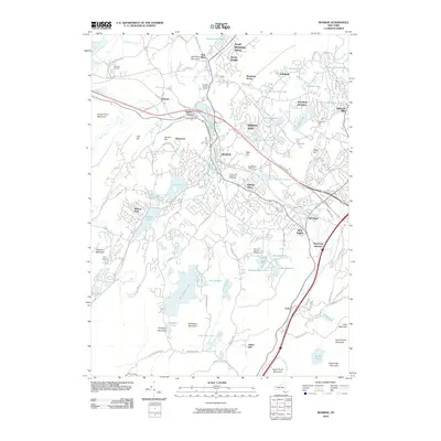
2010 Map of Monroe
USGS Topo · Published 2010About this map
Monroe and Kiryas Joel anchor this 2010 study of Orange County, where suburban development meets the steep gradients of the Hudson Highlands. The landscape is defined by a series of glacial water bodies, from the prominent Mombasha Lake and Walton Lake to smaller basins like Shadowmere Lake and Orange Rockland Lake. Transportation corridors dominate the eastern edge of the quadrangle, where the Ramapo River valley carries both rail lines and major roadways through Arden and Harriman.
Find a feature on this map
107 named features on this map. Tap any name to fly to it.
Don’t see what you’re looking for? This feature index may not catch every label — zoom into the map to look around manually.
Map Details
Editions of this 2010 Monroe Map
This is the sole edition of this map. No revisions or reprints were ever made.
Other maps of this area

1891 · Greenwood Lake
USGS Topo · 1:62,500

1891 · Ramapo
USGS Topo · 1:62,500

1893 · Greenwood Lake
USGS Topo · 1:62,500

1893 · Ramapo
USGS Topo · 1:62,500

1902 · Schunemunk
USGS Topo · 1:62,500

1903 · Greenwood Lake
USGS Topo · 1:62,500

1906 · Goshen
USGS Topo · 1:62,500

1908 · Goshen
USGS Topo · 1:62,500

1910 · Ramapo
USGS Topo · 1:62,500

1910 · Greenwood Lake
USGS Topo · 1:62,500