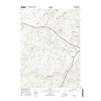
2016 Map of Monroe
USGS Topo · Published 2016About this map
Monroe and the surrounding Hudson Highlands communities reflect a complex geography of suburban expansion and long-standing rural landmarks during the mid-2010s. The dense residential patterns of Kiryas Joel and the specialized Uta Mesivta of Kiryas Joel contrast with the rugged terrain of the Appalachian National Scenic Trail as it winds past Mombasha Lake and Buchanan Mtn. This area serves as a significant transit corridor where the Metro-North Railroad and major highways thread between peaks like Bull Mine Mtn and Schunnemunk Mtn.
Find a feature on this map
89 named features on this map. Tap any name to fly to it.
Don’t see what you’re looking for? This feature index may not catch every label — zoom into the map to look around manually.
Map Details
Editions of this 2016 Monroe Map
This is the sole edition of this map. No revisions or reprints were ever made.
Other maps of this area

1891 · Greenwood Lake
USGS Topo · 1:62,500

1891 · Ramapo
USGS Topo · 1:62,500

1893 · Greenwood Lake
USGS Topo · 1:62,500

1893 · Ramapo
USGS Topo · 1:62,500

1902 · Schunemunk
USGS Topo · 1:62,500

1903 · Greenwood Lake
USGS Topo · 1:62,500

1906 · Goshen
USGS Topo · 1:62,500

1908 · Goshen
USGS Topo · 1:62,500

1910 · Ramapo
USGS Topo · 1:62,500

1910 · Greenwood Lake
USGS Topo · 1:62,500