
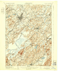
2023 Map of Monroe
USGS Topo · Published 2023About this map
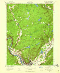
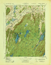
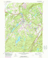
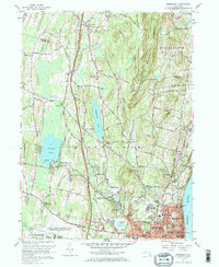
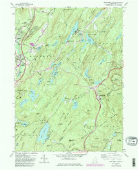
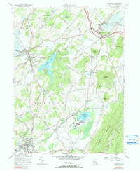
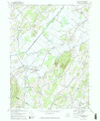
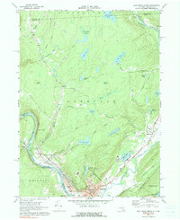
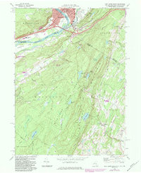
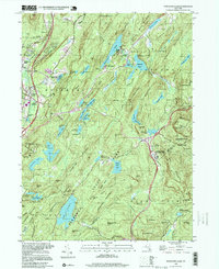
Monroe and its surrounding hamlets in Orange County are defined by a complex landscape of glacial lakes and steep ridges, anchored by the substantial waters of Mombasha Lake and Walton Lake. The topography is marked by several significant peaks, including Schunnemunk Mountain and Bull Mine Mountain, the latter indicating the region's historical connection to resource extraction at the Bull Mine. Religious and educational sites are prominent, from the sprawling development of Kiryas Joel featuring the Uta Mesivta of Kiryas Joel to local landmarks like Saint Anastasia Catholic Cem. To the south, the Harriman State Park boundary preserves large tracts of land, including Lake Sapphire and Island Pond, while the Appalachian National Scenic Trail traverses the southern ridges. The transportation corridor through Harriman and Newburgh Junction along the Ramapo River continues to serve as a vital link in the regional infrastructure.
Find a feature on this map
71 named features on this map. Tap any name to fly to it.
Don’t see what you’re looking for? This feature index may not catch every label — zoom into the map to look around manually.
Map Details
Editions of this 2023 Monroe Map
This is the sole edition of this map. No revisions or reprints were ever made.
Historical Maps of Indian Hill Through Time
43 maps found
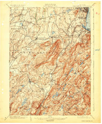
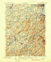
1902 Schunemunk
Orange County, NY
1906 Goshen
Orange County, NY
1908 Goshen
Orange County, NY
1930 Schunemunk
Orange County, NY
1935 Schunemunk
Orange County, NY

1938 Goshen
Orange County, NY

1942 Goshen
Orange County, NY
1942 Pine Island
Orange County, NY
1942 Port Jervis North
Orange County, NY

1943 Goshen
Orange County, NY

1943 Pinebush
Orange County, NY

1943 Pine Island
Orange County, NY

1943 Port Jervis North
Orange County, NY
1943 Warwick
Orange County, NY
1943 Wawayanda
Orange County, NY

1946 Goshen
Orange County, NY

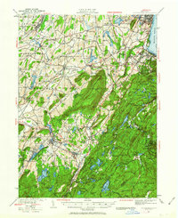
1946 Popolopen Lake
Orange County, NY
1947 Cornwall
Orange County, NY

1947 Newburgh North
Orange County, NY

1947 Popolopen Lake
Orange County, NY

1949 Port Jervis South
Orange County, NY

1953 Port Jervis South
Orange County, NY
1957 Cornwall
Orange County, NY
1957 Goshen
Orange County, NY
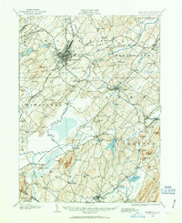
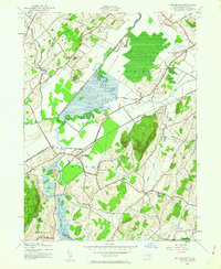
1957 Monroe
Orange County, NY
1957 Newburgh
Orange County, NY
1957 Popolopen Lake
Orange County, NY
1957 Warwick
Orange County, NY
1969 Pine Island
Orange County, NY
1969 Port Jervis North
Orange County, NY
1969 Port Jervis South
Orange County, NY

1992 Port Jervis North
Orange County, NY
1994 Popolopen Lake
Orange County, NY

1995 Port Jervis South
Orange County, NY
1997 Port Jervis North
Orange County, NY

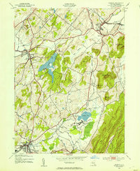
2023 Goshen
Orange County, NY
2023 Monroe
Orange County, NY

2023 Newburgh
Orange County, NY

2023 Pine Island
Orange County, NY

2023 Popolopen Lake
Orange County, NY
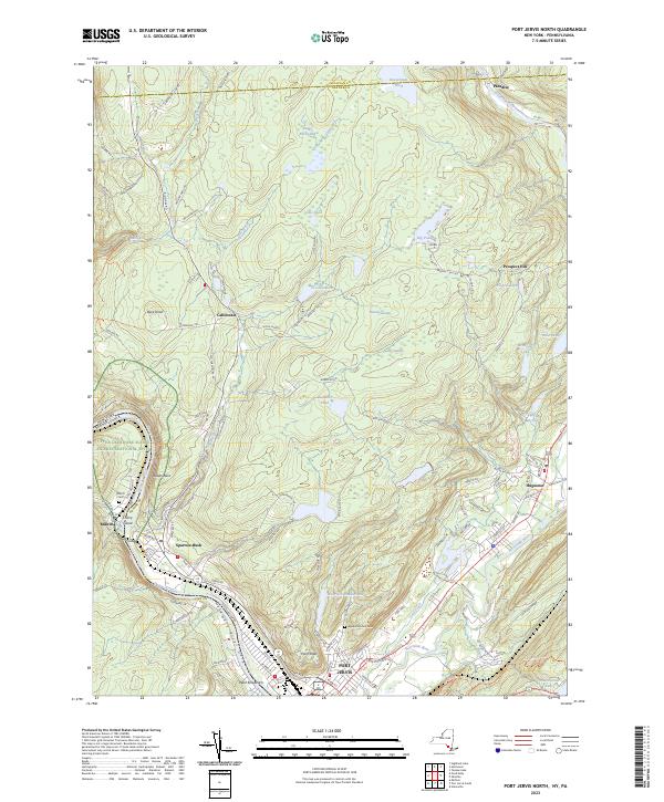
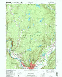
2023 Port Jervis North
Orange County, NY
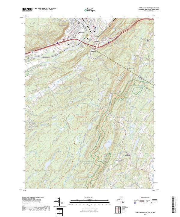
2023 Port Jervis South
Orange County, NY

2023 Warwick
Orange County, NY