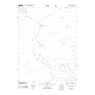
2011 Map of Monroe Peak
USGS Topo · Published 2011About this map
Monrovian Park and its Monrovian Park Campground serve as central landmarks in this high-elevation landscape, situated where Serviceberry Creek meets the Monroe Creek drainage. The terrain is defined by dramatic canyon systems and high plateaus, including the prominent Monroe Peak and the sprawling Monroe Meadows. This 2011 survey reveals an intricate network of mountain water management and natural hydrology, from the Bertlesen Ditch near the settlement of Monroe to the Scrub Flat Reservoir and scattered upland water sources like Hunts Lakes and Sawmill Spring. Historical land use is suggested by named flats and clearings such as Jackass Flat, Brindley Flat, and Mud Spring Flat, many accessible via rugged routes like Monroe Canyon Rd and the Koosharem Pasture Rd.
Find a feature on this map
45 named features on this map. Tap any name to fly to it.
Don’t see what you’re looking for? This feature index may not catch every label — zoom into the map to look around manually.
Map Details
Editions of this 2011 Monroe Peak Map
This is the sole edition of this map. No revisions or reprints were ever made.
Other maps of this area

1885 · Beaver
USGS Topo · 1:250,000

1885 · Fish Lake
USGS Topo · 1:250,000

1896 · Fish Lake
USGS Topo · 1:250,000

1940 · Monroe
USGS Topo · 1:62,500

1944 · Monroe
USGS Topo · 1:62,500

1945 · Marysvale
USGS Topo · 1:62,500

1947 · Marysvale
USGS Topo · 1:62,500

1953 · Richfield
USGS Topo · 1:250,000

1956 · Salina
USGS Topo · 1:250,000

1958 · Richfield
USGS Topo · 1:250,000