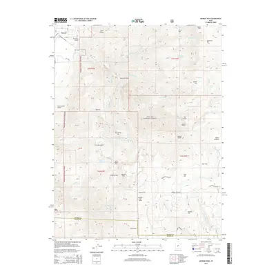
2014 Map of Monroe Peak
USGS Topo · Published 2014About this map
The mountain town of Monroe and the recreational area at Monrovian Park sit at the western edge of this 2014 survey, where the Sevier Valley floor meets the steep rise of the Fishlake National Forest. This landscape is defined by its verticality and the vital water infrastructure that supports life in the high desert, evidenced by the Bertlesen Ditch and Washburn Reservoir. The terrain rises toward the massive heights of Monroe Peak and Glenwood Mtn, reaching into the alpine plateaus of Monroe Meadows and Bagley Meadows.
Find a feature on this map
73 named features on this map. Tap any name to fly to it.
Don’t see what you’re looking for? This feature index may not catch every label — zoom into the map to look around manually.
Map Details
Editions of this 2014 Monroe Peak Map
This is the sole edition of this map. No revisions or reprints were ever made.
Other maps of this area

1885 · Beaver
USGS Topo · 1:250,000

1885 · Fish Lake
USGS Topo · 1:250,000

1896 · Fish Lake
USGS Topo · 1:250,000

1940 · Monroe
USGS Topo · 1:62,500

1944 · Monroe
USGS Topo · 1:62,500

1945 · Marysvale
USGS Topo · 1:62,500

1947 · Marysvale
USGS Topo · 1:62,500

1953 · Richfield
USGS Topo · 1:250,000

1956 · Salina
USGS Topo · 1:250,000

1958 · Richfield
USGS Topo · 1:250,000