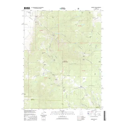
2017 Map of Monroe Peak
USGS Topo · Published 2017About this map
Fishlake National Forest dominates this high-altitude landscape, where the plateau peaks of Monroe Peak and Signal Peak overlook a complex system of flats and canyons. The agricultural and water-management history of the region is evident in the network of irrigation and storage features, including the Bertlesen Ditch and Washburn Reservoir. Near the settlement of Monroe, geothermal activity is marked by the presence of Hot Springs, a long-standing local landmark.
Find a feature on this map
63 named features on this map. Tap any name to fly to it.
Don’t see what you’re looking for? This feature index may not catch every label — zoom into the map to look around manually.
Map Details
Editions of this 2017 Monroe Peak Map
This is the sole edition of this map. No revisions or reprints were ever made.
Other maps of this area

1885 · Beaver
USGS Topo · 1:250,000

1885 · Fish Lake
USGS Topo · 1:250,000

1896 · Fish Lake
USGS Topo · 1:250,000

1940 · Monroe
USGS Topo · 1:62,500

1944 · Monroe
USGS Topo · 1:62,500

1945 · Marysvale
USGS Topo · 1:62,500

1947 · Marysvale
USGS Topo · 1:62,500

1953 · Richfield
USGS Topo · 1:250,000

1956 · Salina
USGS Topo · 1:250,000

1958 · Richfield
USGS Topo · 1:250,000